Transport Functions
Port
Hub Profile
Place type
Populated place
Region
Buenos Aires
Time zone
America/Argentina/Buenos_Aires
Elevation
14 m
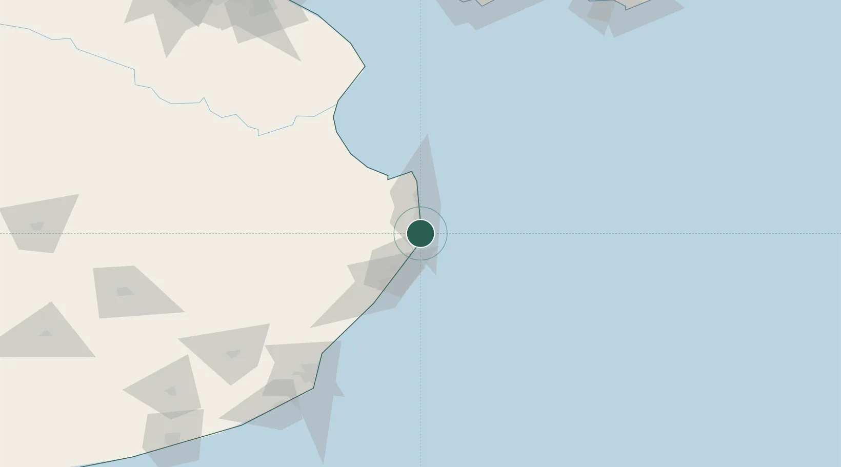
Location
Nearby Logistics Neighbours
Cities
- 1General Lavalle55 km
- 2Cabo San Antonio89 km
- 3Lezama (Manuel J. Cobo)154 km
- 4Mar del Plata155 km
- 5Balcarce179 km
Ports
- 1Mar Del Plata154 km
- 2Montevideo219 km
- 3La Plata248 km
- 4Quequen264 km
- 5Jose Ignacio274 km
Airports
Trade Zones
- 1World Trade Center Free Zone220 km
- 2Aguada Park Free Zone220 km
- 3Parque de las Ciencias Free Zone232 km
- 4Parque Las Ciencias Free Zone233 km
- 5Zonamerica Free Zone234 km
DatabookThe Record of Consolidated Knowledge
Argentina beyond logistics?