UN/LOCODE hub · Argentina
ARMDQ
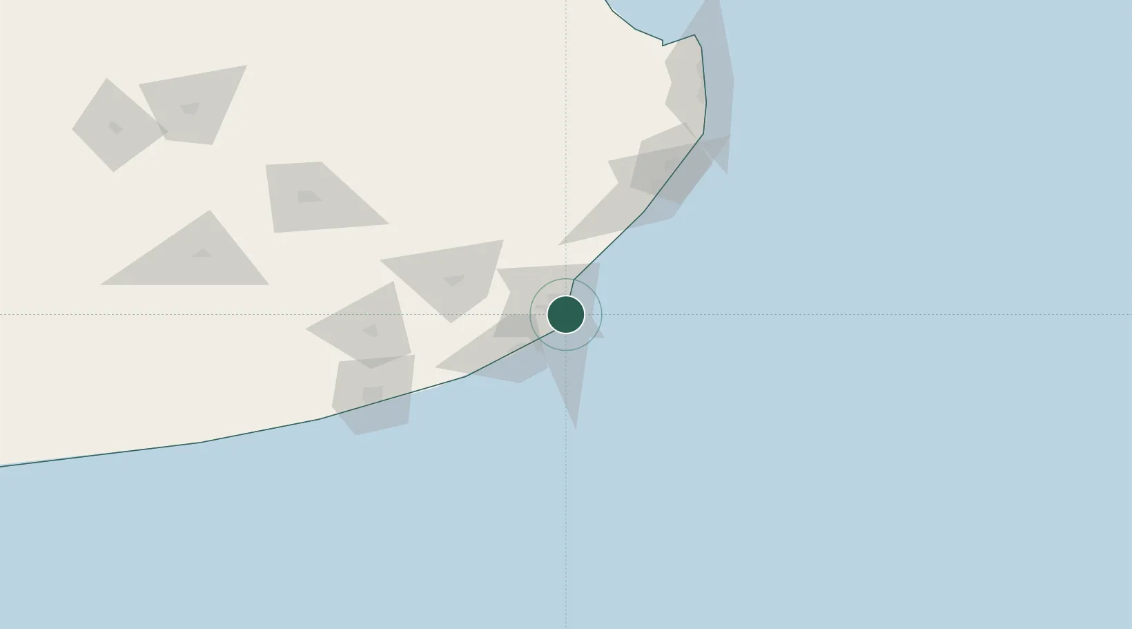
Mar del Plata
-38.0469°, -57.5364°
593,337
Population
4
Transport functions
1
Container terminals
Transport Functions
Port
Road
Airport
Postal
Hub Profile
Place type
Provincial seat
Region
Buenos Aires
Population
593,337
Time zone
America/Argentina/Buenos_Aires
Elevation
14 m
Logistics facilities
1
Container terminals
1
Location
Nearby Logistics Neighbours
Cities
- 1Balcarce67 km
- 2Loberia110 km
- 3Quequén115 km
- 4Punta Medanos155 km
- 5General Lavalle190 km
Ports
- 1Quequen118 km
- 2La Plata359 km
- 3Montevideo369 km
- 4Buenos Aires390 km
- 5Colonia399 km
Airports
- 1Ástor Piazzola International Airport13 km
- 2Villa Gesell Airport101 km
- 3Necochea Airport122 km
- 4Héroes de Malvinas Airport174 km
- 5Santa Teresita Airport182 km
Trade Zones
- 1La Plata Free Trade Zone357 km
- 2Aguada Park Free Zone371 km
- 3World Trade Center Free Zone371 km
- 4Parque de las Ciencias Free Zone385 km
- 5Parque Las Ciencias Free Zone385 km
DatabookThe Record of Consolidated Knowledge
Argentina beyond logistics?