Transport Functions
Port
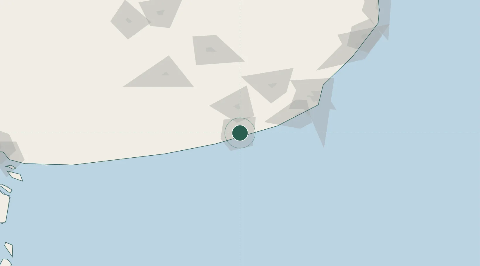
Hub Profile
Place type
Populated place
Region
Buenos Aires
Time zone
America/Argentina/Buenos_Aires
Elevation
28 m
Location
Nearby Logistics Neighbours
Cities
- 1Loberia43 km
- 2Balcarce87 km
- 3Mar del Plata115 km
- 4Tres Arroyos139 km
- 5Azul220 km
Ports
- 1Mar Del Plata116 km
- 2Puerto Rosales295 km
- 3Puerto Belgrano298 km
- 4Bahia Blanca311 km
- 5Puerto Ingeniero White311 km
Airports
- 1Necochea Airport11 km
- 2Ástor Piazzola International Airport119 km
- 3Tres Arroyos Airport143 km
- 4Héroes de Malvinas Airport152 km
- 5Villa Gesell Airport206 km
Trade Zones
- 1Zona Franca Bahía Blanca311 km
- 2La Plata Free Trade Zone416 km
- 3Zona Sur Buenos Aires433 km
- 4Colonia Free Zone458 km
- 5Aguada Park Free Zone462 km
DatabookThe Record of Consolidated Knowledge
Argentina beyond logistics?