Transport Functions
Port
Road
Hub Profile
Region
B
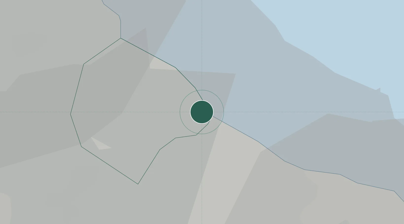
Location
Nearby Logistics Neighbours
Cities
- 1Villa Dominico4 km
- 2Buenos Aires6 km
- 3Lanús8 km
- 4Quilmes10 km
- 5Remedios de Escalada10 km
Ports
- 1Buenos Aires6 km
- 2La Plata46 km
- 3Colonia49 km
- 4Campana80 km
- 5Puerto Sauce84 km
Airports
Trade Zones
- 1Zona Sur Buenos Aires16 km
- 2La Plata Free Trade Zone45 km
- 3Colonia Free Zone50 km
- 4Montes de Plata Free Zone54 km
- 5Nueva Palmira Free Zone85 km
DatabookThe Record of Consolidated Knowledge
Argentina beyond logistics?