UN/LOCODE hub · Argentina
ARINW
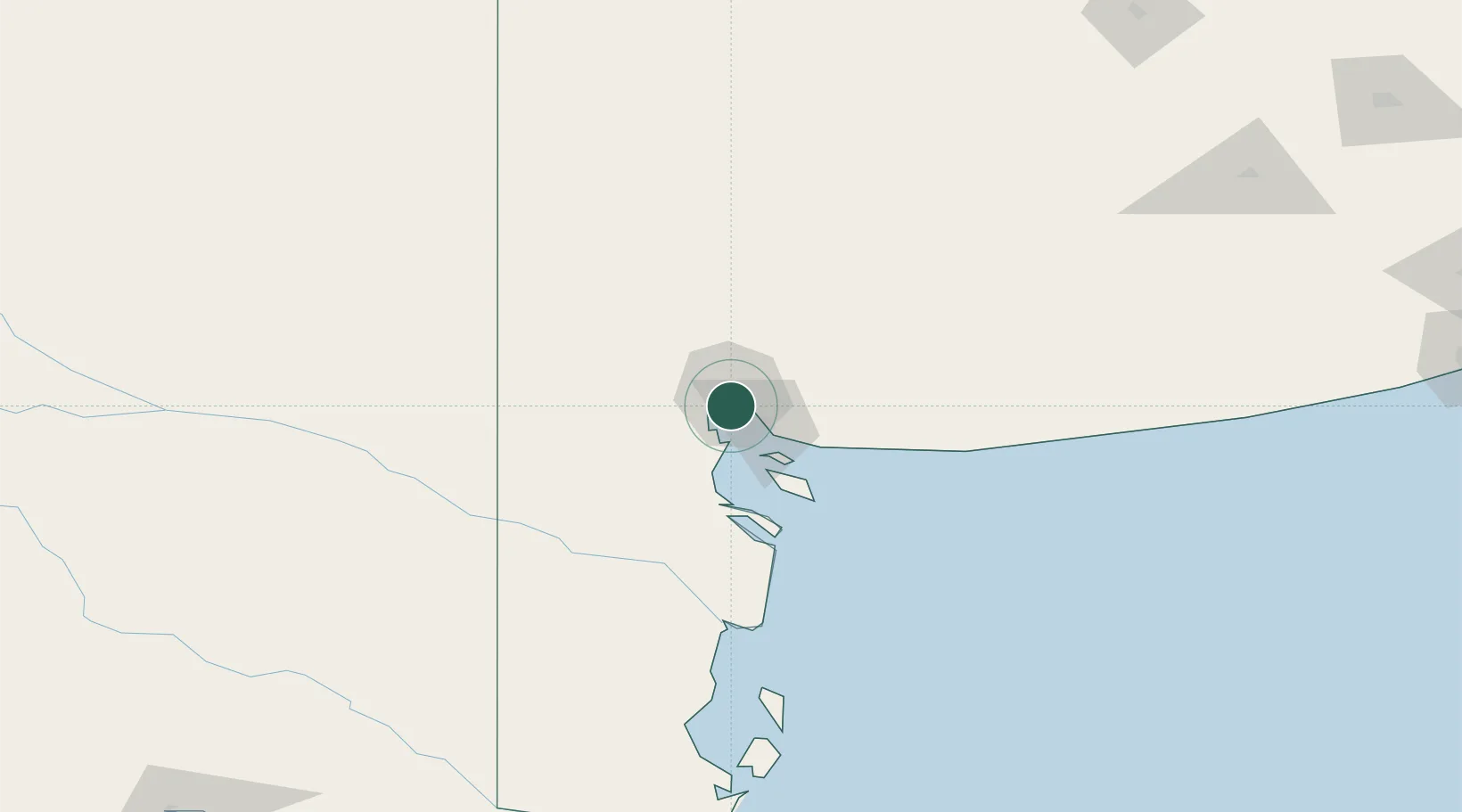
Ingeniero White/Bahia Blanca
-38.7833°, -62.2667°
2
Transport functions
Transport Functions
Port
Road
Hub Profile
Region
B
Location
Nearby Logistics Neighbours
Cities
- 1Bahía Blanca1 km
- 2Puerto Rosales/Bahia Blanca24 km
- 3Tres Arroyos178 km
- 4Daireaux247 km
- 5Villa Lynch255 km
Ports
- 1Bahia Blanca0 km
- 2Puerto Nacional2 km
- 3Puerto Galvan3 km
- 4Puerto Belgrano18 km
- 5Puerto Rosales24 km
Airports
- 1Comandante Espora Airport11 km
- 2Tres Arroyos Airport174 km
- 3Gobernador Castello Airport240 km
- 4Santa Rosa Airport301 km
- 5Necochea Airport301 km
Trade Zones
- 1Zona Franca Bahía Blanca8 km
- 2General Pico Free Zone370 km
- 3Zona Sur Buenos Aires570 km
- 4La Plata Free Trade Zone585 km
- 5Justo Daract Free Trade Zone609 km
DatabookThe Record of Consolidated Knowledge
Argentina beyond logistics?