Medium airport · Argentina
Comandante Espora AirportSAZB
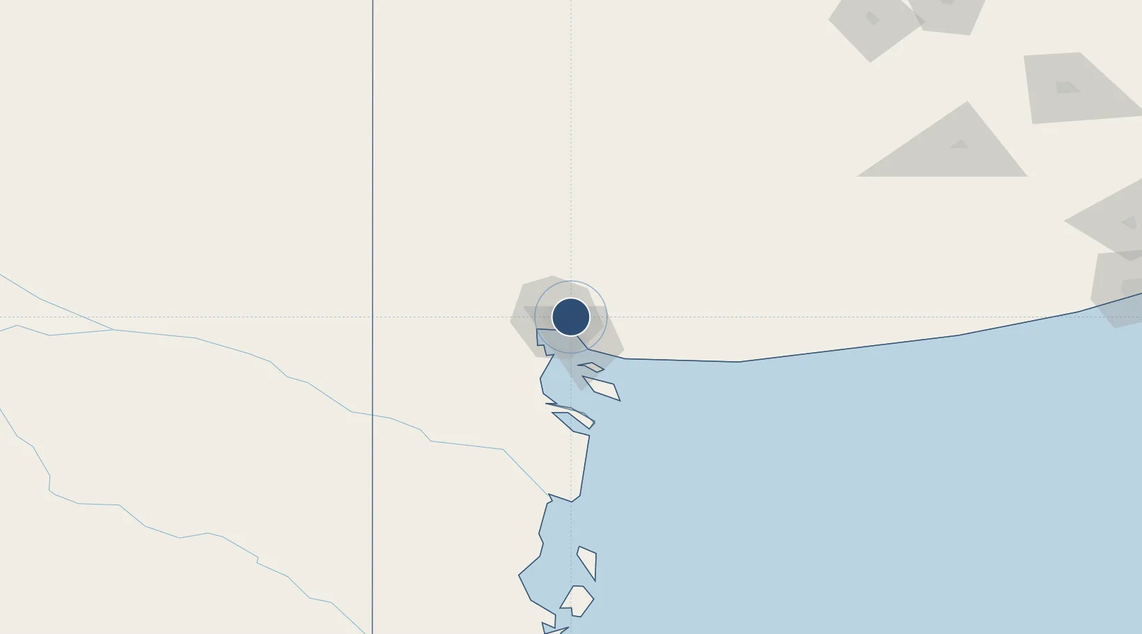
-38.7250°, -62.1693°
8,579 ft
Longest runway
3
Runways
246 ft
Elevation
Runway & Layout

Radio Frequencies
TWR
119.15 MHz
ESPORA TWR
GND
121.9 MHz
APP
124.8 MHz
BAHIA BLANCA APP
RDO
296.5 MHz
Navaids
BCA VOR-DME Bahia Blanca 114.30 MHz
EPO NDB Comandante Espora 370 kHz
Runways · 3
| Runway | Dimensions | Surface | True heading | Lit |
|---|---|---|---|---|
| 17L/35R | 8,579 × 197ft | Asphalt | 164° | ✓ |
| 06/24 | 6,660 × 108ft | Asphalt | 061° | ✓ |
| 17R/35L | 4,915 × 98ft | Asphalt | 164° | — |
Airport Specifications
IATA code
BHI
ICAO code
SAZB
Airport class
Medium airport
Scheduled service
Yes
Runway surface
Asphalt
Served city
Bahía Blanca
Location
Nearby Logistics Neighbours
Airports
- 1Tres Arroyos Airport164 km
- 2Gobernador Castello Airport249 km
- 3Necochea Airport293 km
- 4Santa Rosa Airport301 km
- 5Héroes de Malvinas Airport306 km
Cities
- 1Ingeniero White/Bahia Blanca11 km
- 2Bahía Blanca12 km
- 3Puerto Rosales/Bahia Blanca25 km
- 4Tres Arroyos168 km
- 5Daireaux239 km
Ports
- 1Bahia Blanca11 km
- 2Puerto Ingeniero White12 km
- 3Puerto Nacional13 km
- 4Puerto Galvan13 km
- 5Puerto Belgrano19 km
Trade Zones
- 1Zona Franca Bahía Blanca9 km
- 2General Pico Free Zone367 km
- 3Zona Sur Buenos Aires559 km
- 4La Plata Free Trade Zone574 km
- 5Justo Daract Free Trade Zone607 km
DatabookThe Record of Consolidated Knowledge
Argentina beyond logistics?