UN/LOCODE hub · Argentina
AROYO
Tres Arroyos
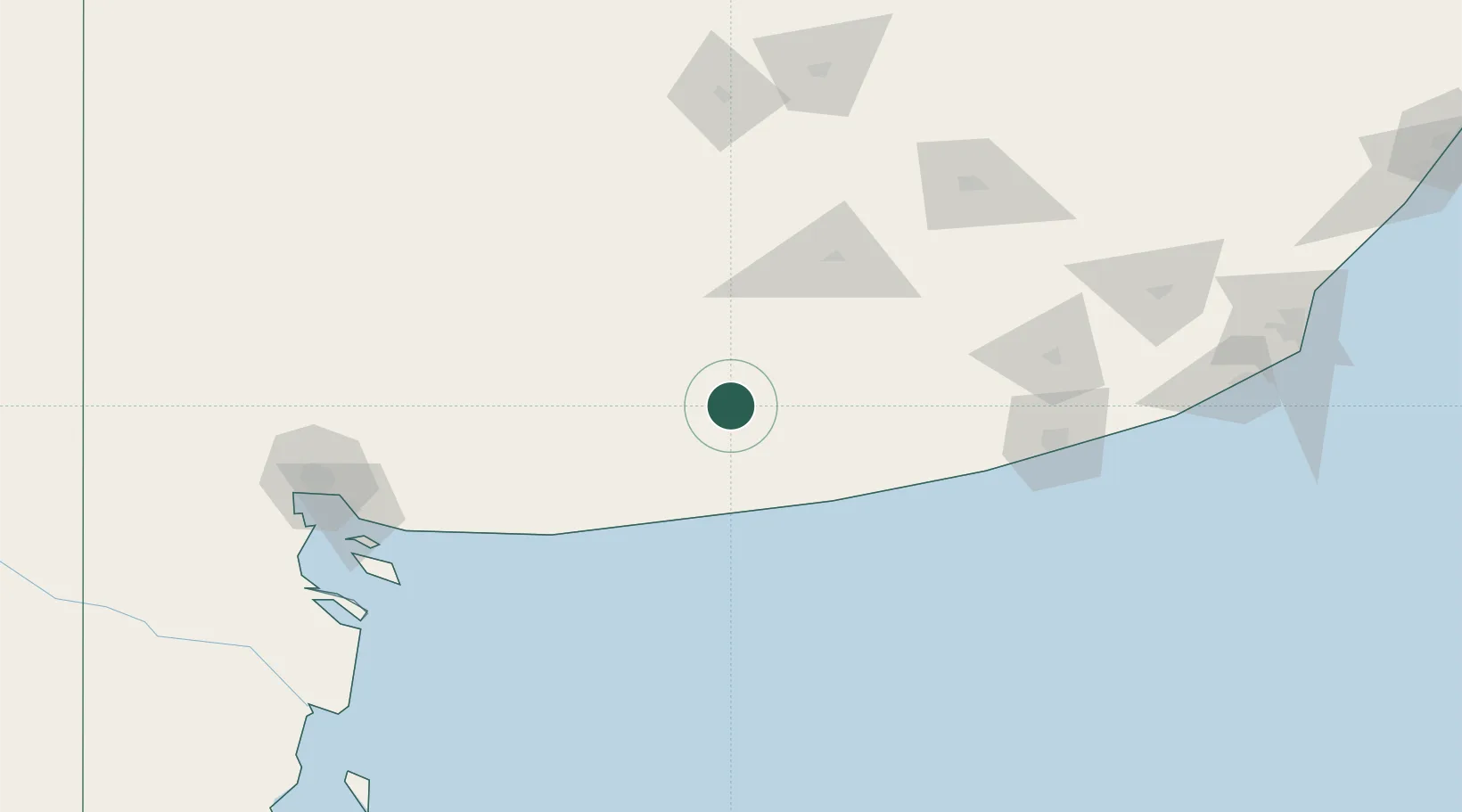
-38.3833°, -60.2833°
47,136
Population
3
Transport functions
Transport Functions
Port
Road
Airport
Hub Profile
Place type
Provincial seat
Region
Buenos Aires
Population
47,136
Time zone
America/Argentina/Buenos_Aires
Elevation
100 m
Location
Nearby Logistics Neighbours
Cities
- 1Loberia134 km
- 2Quequén139 km
- 3Puerto Rosales/Bahia Blanca167 km
- 4Olavarría167 km
- 5Ingeniero White/Bahia Blanca178 km
Ports
- 1Quequen140 km
- 2Puerto Rosales167 km
- 3Puerto Belgrano167 km
- 4Bahia Blanca178 km
- 5Puerto Ingeniero White179 km
Airports
- 1Tres Arroyos Airport4 km
- 2Necochea Airport128 km
- 3Héroes de Malvinas Airport158 km
- 4Comandante Espora Airport168 km
- 5Ástor Piazzola International Airport242 km
Trade Zones
- 1Zona Franca Bahía Blanca176 km
- 2General Pico Free Zone432 km
- 3Zona Sur Buenos Aires445 km
- 4La Plata Free Trade Zone447 km
- 5Colonia Free Zone487 km
DatabookThe Record of Consolidated Knowledge
Argentina beyond logistics?