UN/LOCODE hub · Argentina
ARPRS
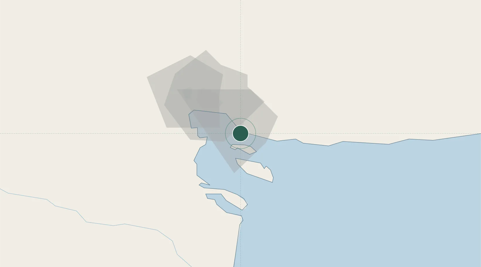
Puerto Rosales/Bahia Blanca
-38.9333°, -62.0667°
1
Transport functions
Transport Functions
Port
Hub Profile
Region
B
Location
Nearby Logistics Neighbours
Cities
- 1Ingeniero White/Bahia Blanca24 km
- 2Bahía Blanca24 km
- 3Tres Arroyos167 km
- 4Daireaux261 km
- 5Villa Lynch267 km
Ports
- 1Puerto Belgrano6 km
- 2Puerto Ingeniero White23 km
- 3Puerto Nacional24 km
- 4Bahia Blanca24 km
- 5Puerto Galvan26 km
Airports
- 1Comandante Espora Airport25 km
- 2Tres Arroyos Airport163 km
- 3Gobernador Castello Airport230 km
- 4Necochea Airport286 km
- 5Héroes de Malvinas Airport312 km
Trade Zones
- 1Zona Franca Bahía Blanca30 km
- 2General Pico Free Zone392 km
- 3Zona Sur Buenos Aires573 km
- 4La Plata Free Trade Zone586 km
- 5Colonia Free Zone623 km
DatabookThe Record of Consolidated Knowledge
Argentina beyond logistics?