UN/LOCODE hub · Argentina
ARBHI
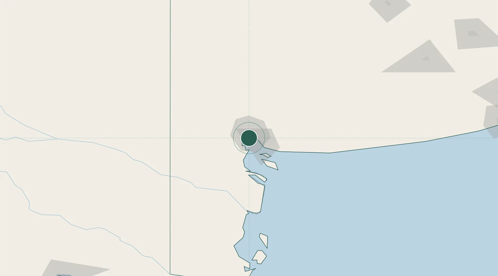
Bahía Blanca
-38.7897°, -62.2770°
299,101
Population
2
Transport functions
1
Container terminals
Transport Functions
Port
Airport
Hub Profile
Place type
Provincial seat
Region
Buenos Aires
Population
299,101
Time zone
America/Argentina/Buenos_Aires
Elevation
20 m
Logistics facilities
2
Container terminals
1
Location
Nearby Logistics Neighbours
Cities
- 1Ingeniero White/Bahia Blanca1 km
- 2Puerto Rosales/Bahia Blanca24 km
- 3Tres Arroyos179 km
- 4Daireaux248 km
- 5Villa Lynch256 km
Ports
- 1Puerto Nacional1 km
- 2Puerto Ingeniero White1 km
- 3Puerto Galvan2 km
- 4Puerto Belgrano19 km
- 5Puerto Rosales24 km
Airports
- 1Comandante Espora Airport12 km
- 2Tres Arroyos Airport175 km
- 3Gobernador Castello Airport239 km
- 4Santa Rosa Airport301 km
- 5Necochea Airport302 km
Trade Zones
- 1Zona Franca Bahía Blanca8 km
- 2General Pico Free Zone370 km
- 3Zona Sur Buenos Aires571 km
- 4La Plata Free Trade Zone586 km
- 5Justo Daract Free Trade Zone609 km
DatabookThe Record of Consolidated Knowledge
Argentina beyond logistics?