UN/LOCODE hub · Argentina
ARBUE
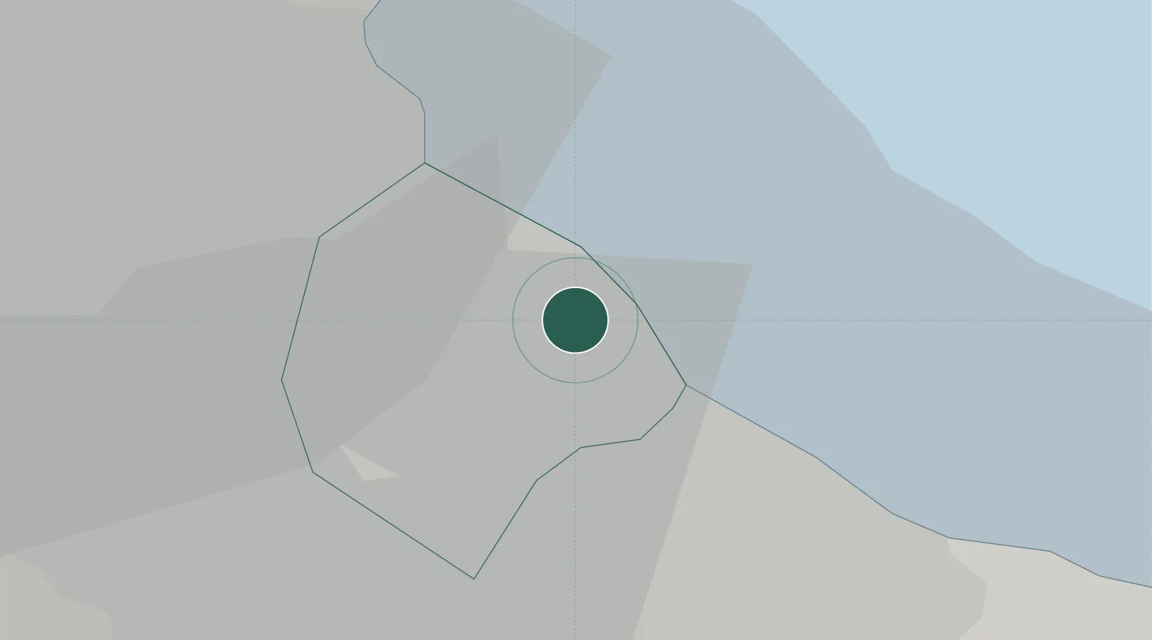
Buenos Aires
-34.6176°, -58.3824°
2,891,082
Population
5
Transport functions
3
Container terminals
Transport Functions
Port
Rail
Road
Airport
Postal
Hub Profile
Place type
National capital
Region
Buenos Aires F.D.
Population
2,891,082
Time zone
America/Argentina/Buenos_Aires
Elevation
31 m
Logistics facilities
22
Container terminals
3
Location
Nearby Logistics Neighbours
Cities
- 1Dock Sur6 km
- 2Lanús9 km
- 3Villa Dominico10 km
- 4Mataderos12 km
- 5Pablo Podestá12 km
Ports
- 1La Plata52 km
- 2Colonia52 km
- 3Campana75 km
- 4Nueva Palmira82 km
- 5Zarate84 km
Airports
Trade Zones
- 1Zona Sur Buenos Aires11 km
- 2La Plata Free Trade Zone51 km
- 3Colonia Free Zone53 km
- 4Montes de Plata Free Zone53 km
- 5Nueva Palmira Free Zone81 km
DatabookThe Record of Consolidated Knowledge
Argentina beyond logistics?