Transport Functions
Rail
Road
Hub Profile
Place type
Provincial seat
Region
Buenos Aires
Time zone
America/Argentina/Buenos_Aires
Elevation
7 m
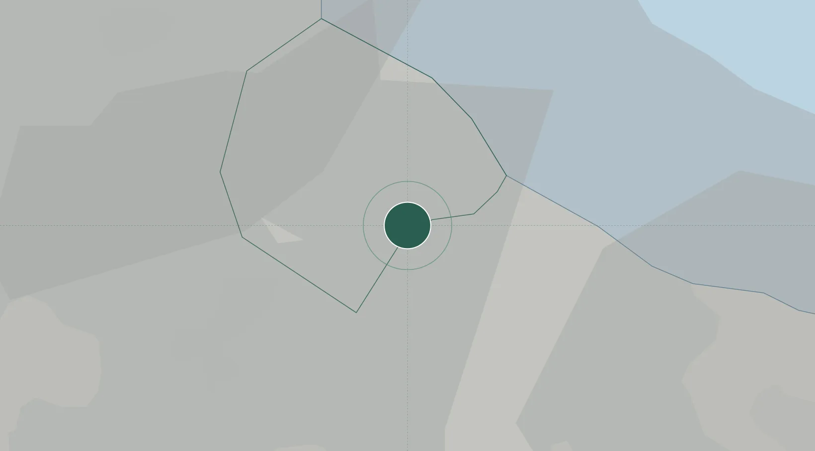
Location
Nearby Logistics Neighbours
Cities
- 1Remedios de Escalada4 km
- 2Villa Dominico8 km
- 3Dock Sur8 km
- 4Buenos Aires9 km
- 5Villa Galicia9 km
Ports
- 1Buenos Aires12 km
- 2La Plata50 km
- 3Colonia57 km
- 4Campana80 km
- 5Zarate90 km
Airports
Trade Zones
- 1Zona Sur Buenos Aires11 km
- 2La Plata Free Trade Zone48 km
- 3Colonia Free Zone58 km
- 4Montes de Plata Free Zone62 km
- 5Nueva Palmira Free Zone90 km
DatabookThe Record of Consolidated Knowledge
Argentina beyond logistics?