UN/LOCODE hub · United Arab Emirates
AESHJ
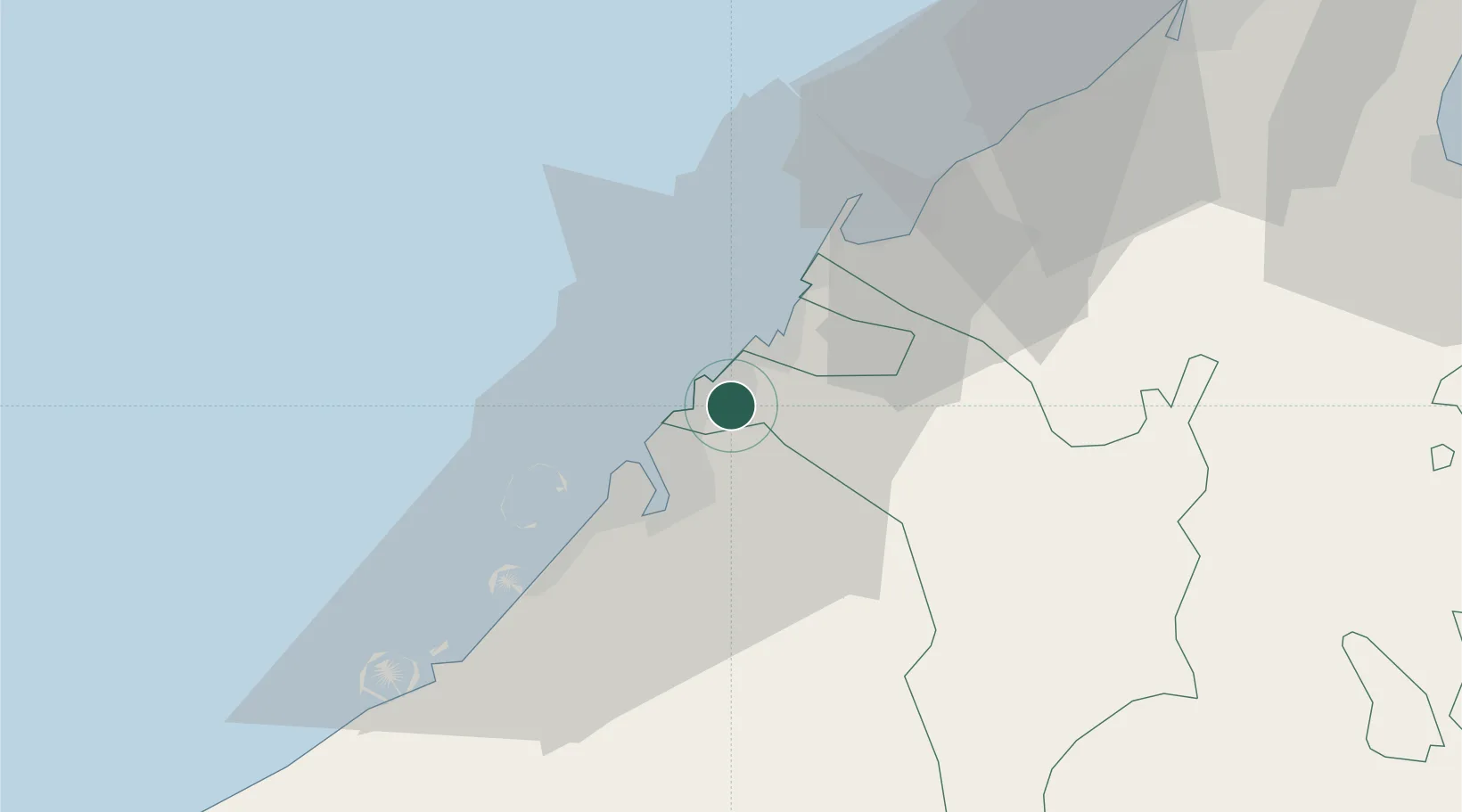
Sharjah
25.3278°, 55.4092°
1,800,000
Population
3
Transport functions
1
Container terminals
Transport Functions
Port
Road
Airport
Hub Profile
Place type
Regional capital
Region
Sharjah
Population
1,800,000
Time zone
Asia/Dubai
Elevation
15 m
Logistics facilities
3
Container terminals
1
Location
Nearby Logistics Neighbours
Cities
- 1Mina Khalid5 km
- 2Saif Zone8 km
- 3Hamriya Free Zone Port10 km
- 4Ajman11 km
- 5Mina Rashid Port14 km
Ports
- 1Ajman10 km
- 2Dubayy13 km
- 3Al Hamriyah Lpg Terminal17 km
- 4Umm Al Qaywayn33 km
- 5Mina Jabal Ali50 km
Airports
Trade Zones
DatabookThe Record of Consolidated Knowledge
United Arab Emirates beyond logistics?