UN/LOCODE hub · Vietnam
VNBHO

Bach Ho

9.8333°, 108.0000°
1
Transport functions

Transport Functions

Port
UN/LOCODE

Hub Profile

Region
40
GeoNames

Location

Location of VNBHO
Natural Earth 10m (public domain) · 40 · VNBHO · 9.83, 108.00GoogleOSMYandex

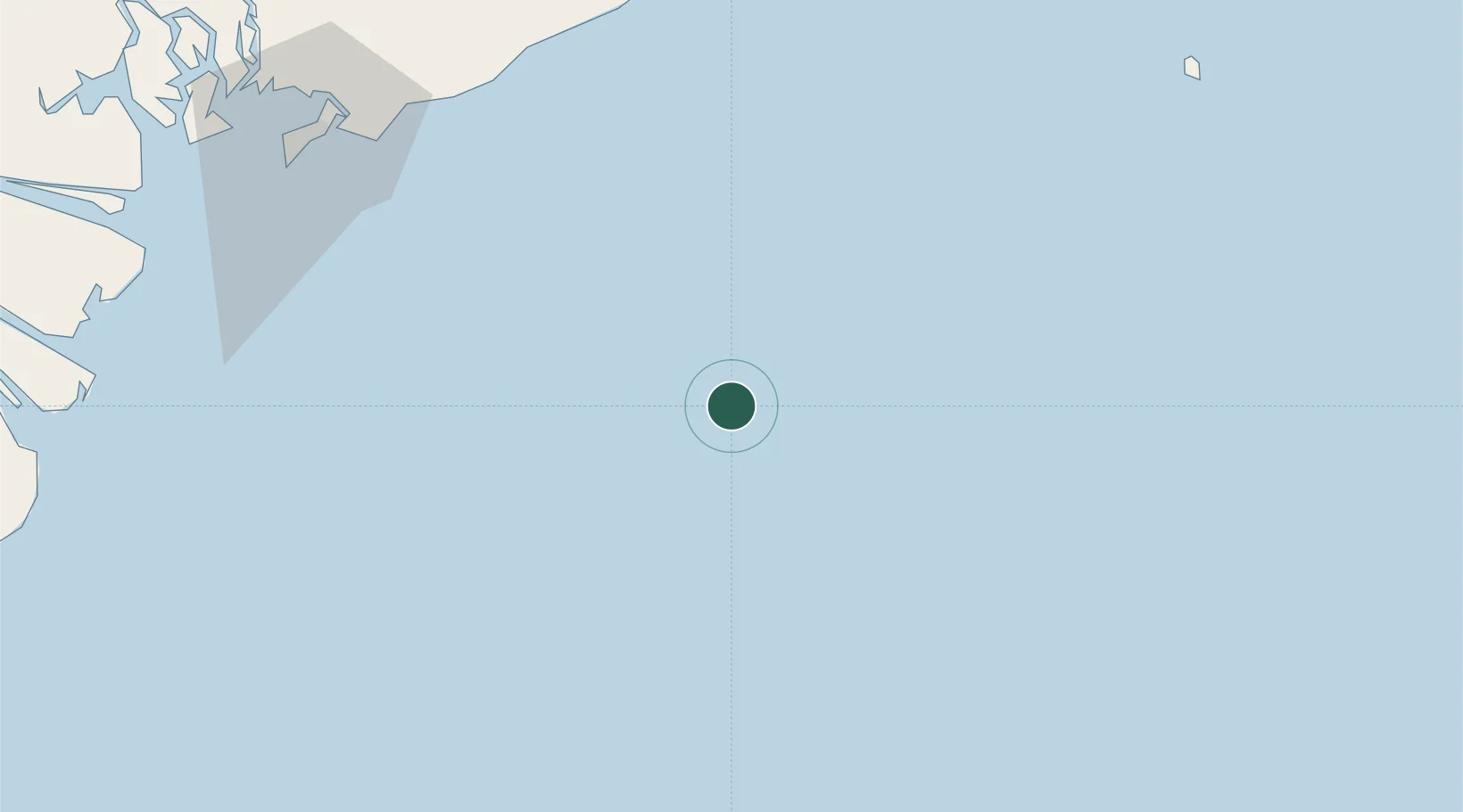
Nearby Logistics Neighbours

Cities
  1. 1Rang Dong41 km
  2. 2Su Tu Den78 km
  3. 3Dong Xuyen Port117 km
  4. 4Vung Tau132 km
  5. 5Cai Mep132 km
Nearest neighbours — logibook spatial index (haversine) over the source coordinates
Ports
  1. 1Vung Tau116 km
  2. 2Phu My135 km
  3. 3Cat Lai168 km
  4. 4Thanh Hoa174 km
  5. 5Thanh Ho Chi Minh175 km
Nearest neighbours — logibook spatial index (haversine) over the source coordinates
Airports
  1. 1Long Thanh International Airport (Under Construction)148 km
  2. 2Tan Son Nhat International Airport184 km
  3. 3Con Dao Airport194 km
  4. 4Lien Khuong Airport217 km
  5. 5Can Tho International Airport252 km
Nearest neighbours — logibook spatial index (haversine) over the source coordinates
Trade Zones
  1. 1Dong Xuyen Industrial Zone116 km
  2. 2Ham Kiem Industrial Zone123 km
  3. 3Phan Thiet 1 Industrial Zone125 km
  4. 4Phu Tai Industrial Zone125 km
  5. 5Phan Thiet 2 Industrial Zone125 km
Nearest neighbours — logibook spatial index (haversine) over the source coordinates
DatabookThe Record of Consolidated Knowledge
Vietnam beyond logistics?
Browse databook

All Sources

LocationsUN/LOCODE
UN/LOCODE — free
Portsthe NGA World Port Index
Public domain (US gov)
AirportsOurAirports
Public domain
Trade Zonesthe World Bank SEZ database
CC BY 4.0
Trade ZonesOpen Zone Map
CC BY
← Vietnam locations