Export Processing Zone · Vietnam

Thach That-Quoc Oai Industrial Estate Active
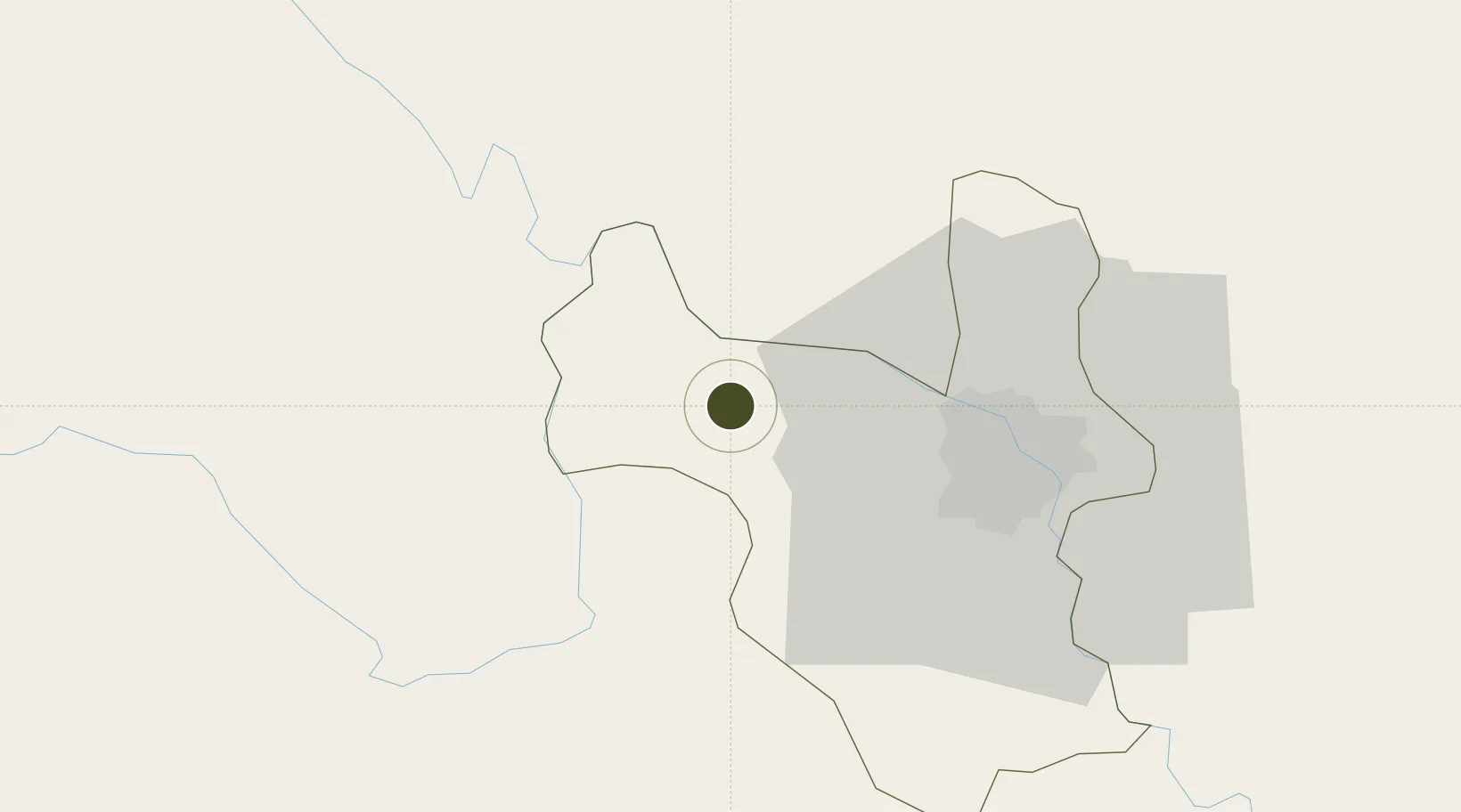
21.0930°, 105.5072°
150 ha
Zone area
123.7 km
Nearest port
34.2 km
Nearest airport

Gateway access

Nearest neighbours — logibook spatial index (haversine) over the source coordinates

Zone profile

Zone type
Export Processing Zone
Open Zone Map
Region
Ha Noi
Open Zone Map
Status
Active
Open Zone Map
Management
Public
Open Zone Map
Operator
Vietnam Investment Development Group (VID)
Open Zone Map
Legal framework
Decree No.82/2018/ND-CP on Management of Industrial Parks and Economic Zones, Decree No 218/2013/ND-CP
Open Zone Map

Location

Location of ozm-5145
Natural Earth 10m (public domain) · Ha Noi · ozm-5145 · 21.09, 105.51GoogleOSMYandex

Nearby Logistics Neighbours

Ports
  1. 1Hai Phong124 km
  2. 2Hon Gai163 km
  3. 3Cam Pha193 km
  4. 4Nghe Tinh260 km
  5. 5Fang-Cheng303 km
Nearest neighbours — logibook spatial index (haversine) over the source coordinates
Airports
  1. 1Noi Bai International Airport34 km
  2. 2Gia Lam Air Base40 km
  3. 3Cat Bi International Airport130 km
  4. 4Tho Xuan Airport133 km
  5. 5Sam Neua Airport168 km
Nearest neighbours — logibook spatial index (haversine) over the source coordinates
Cities
  1. 1Hoa Lac18 km
  2. 2Hanoi51 km
  3. 3Thái Nguyên63 km
  4. 4Luong Tai67 km
  5. 5Hoa Mac72 km
Nearest neighbours — logibook spatial index (haversine) over the source coordinates
Trade Zones
  1. 1Hoa Lac Hi-Tech Park10 km
  2. 2Thach That - Quoc Oai Industrial Park16 km
  3. 3Luong Son Industrial Zone23 km
  4. 4Trung Ha Industrial Zone24 km
  5. 5Bình Xuyên Industrial Estate25 km
Nearest neighbours — logibook spatial index (haversine) over the source coordinates
DatabookThe Record of Consolidated Knowledge
Vietnam beyond logistics?
Browse databook

All Sources

Trade ZonesOpen Zone Map
CC BY
Portsthe NGA World Port Index
Public domain (US gov)
AirportsOurAirports
Public domain
LocationsUN/LOCODE
UN/LOCODE — free
← Vietnam trade zones