Transport Functions
Port
Multimodal
Hub Profile
Place type
Populated place
Region
Miranda
Time zone
America/Caracas
Elevation
628 m
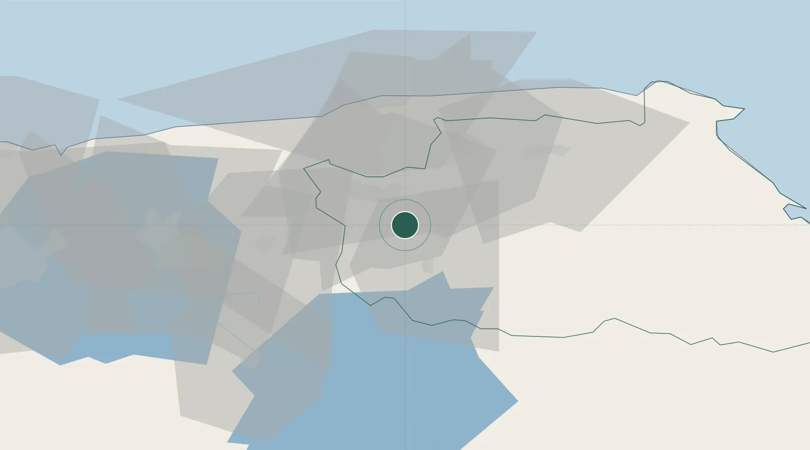
Location
Nearby Logistics Neighbours
Cities
- 1Los Anaucos10 km
- 2Carrizal10 km
- 3Los Teques12 km
- 4El Junquito27 km
- 5El Cafetal27 km
Ports
- 1Catia La Mar38 km
- 2La Guaira39 km
- 3Puerto Borburata116 km
- 4Puerto Cabello117 km
- 5El Palito130 km
Airports
DatabookThe Record of Consolidated Knowledge
Venezuela beyond logistics?