UN/LOCODE hub · Kazakhstan
KZSRY

Saryagach

41.4500°, 69.1667°
2
Transport functions

Transport Functions

Rail
Road
UN/LOCODE

Hub Profile

Region
61
GeoNames

Location

Location of KZSRY
Natural Earth 10m (public domain) · 61 · KZSRY · 41.45, 69.17GoogleOSMYandex

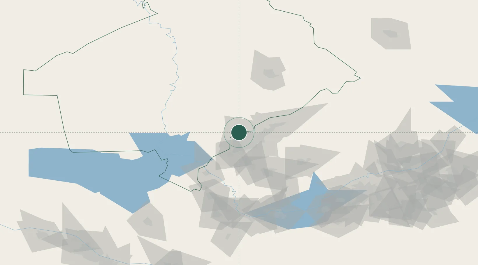
Nearby Logistics Neighbours

Cities
  1. 1Chukur-Say10 km
  2. 2Tashkent28 km
  3. 3Ohangaron73 km
  4. 4Chimkent101 km
  5. 5Guliston110 km
Nearest neighbours — logibook spatial index (haversine) over the source coordinates
Ports
  1. 1Muhamamad Bin Qasim1863 km
  2. 2Karachi1864 km
  3. 3Gwadar1922 km
  4. 4Chah Bahar1964 km
  5. 5Jazireh-Ye Hormoz1973 km
Nearest neighbours — logibook spatial index (haversine) over the source coordinates
Airports
  1. 1Tashkent International Airport23 km
  2. 2Tashkent East Airport24 km
  3. 3Shymkent International Airport105 km
  4. 4Khujand International Airport144 km
  5. 5Zomin Airport172 km
Nearest neighbours — logibook spatial index (haversine) over the source coordinates
Trade Zones
  1. 1Zomin-pharm Free Economic Zone45 km
  2. 2Parkent-pharm Free Economic Zone46 km
  3. 3Bustonliq-pharm Free Economic Zone52 km
  4. 4Charvak Chorvoq Free Economic Zone68 km
  5. 5Sirdaryo-pharm Free Economic Zone81 km
Nearest neighbours — logibook spatial index (haversine) over the source coordinates
DatabookThe Record of Consolidated Knowledge
Kazakhstan beyond logistics?
Browse databook

All Sources

LocationsUN/LOCODE
UN/LOCODE — free
Portsthe NGA World Port Index
Public domain (US gov)
AirportsOurAirports
Public domain
Trade Zonesthe World Bank SEZ database
CC BY 4.0
Trade ZonesOpen Zone Map
CC BY
← Kazakhstan locations