Transport Functions
Multimodal
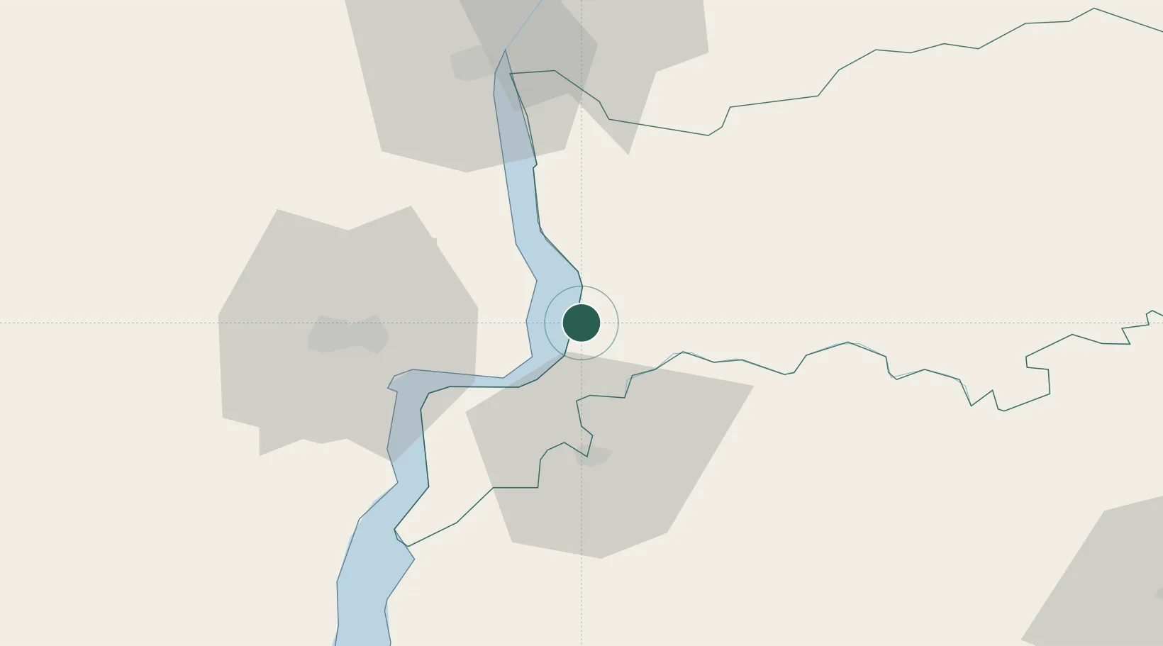
Hub Profile
Place type
Populated place
Region
Río Negro Department
Population
2,450
Time zone
America/Montevideo
Elevation
11 m
Location
Nearby Logistics Neighbours
Cities
- 1Gualeguaychú44 km
- 2Concepción del Uruguay58 km
- 3Urdurrain85 km
- 4Colón86 km
- 5Del Guazu127 km
Ports
- 1Fray Bentos29 km
- 2Concepcion Del Uruguay58 km
- 3Paysandu74 km
- 4Colon86 km
- 5Nueva Palmira106 km
Airports
Trade Zones
- 1UPM Fray Bentos Free Zone25 km
- 2Zona Franca UPM25 km
- 3Nueva Palmira Free Zone106 km
- 4Montes de Plata Free Zone138 km
- 5Nueva Helvecia Free Zone167 km
DatabookThe Record of Consolidated Knowledge
Uruguay beyond logistics?