Transport Functions
Port
Hub Profile
Place type
Provincial seat
Region
Entre Rios
Population
58,219
Time zone
America/Argentina/Cordoba
Elevation
25 m
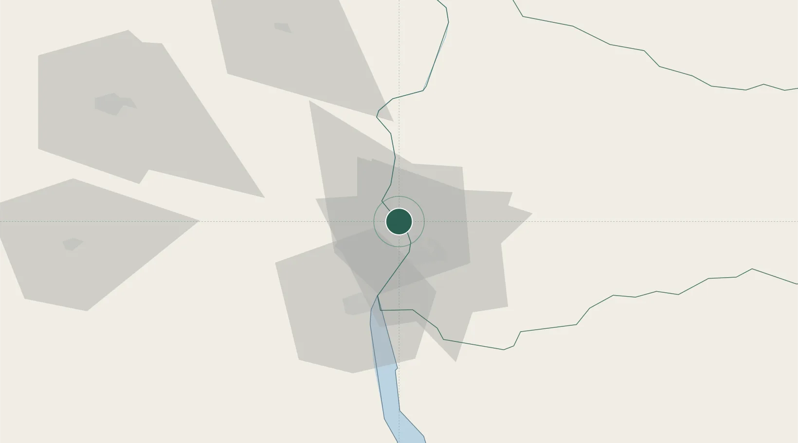
Location
Nearby Logistics Neighbours
Cities
- 1Concepción del Uruguay31 km
- 2San Salvador75 km
- 3Nuevo Berlin86 km
- 4Urdurrain87 km
- 5Gualeguaychú96 km
Ports
- 1Paysandu13 km
- 2Concepcion Del Uruguay31 km
- 3Concordia91 km
- 4Fray Bentos102 km
- 5Nueva Palmira187 km
Airports
Trade Zones
- 1Zona Franca UPM102 km
- 2UPM Fray Bentos Free Zone102 km
- 3Nueva Palmira Free Zone188 km
- 4Montes de Plata Free Zone223 km
- 5Nueva Helvecia Free Zone248 km
DatabookThe Record of Consolidated Knowledge
Argentina beyond logistics?