Transport Functions
Port
Road
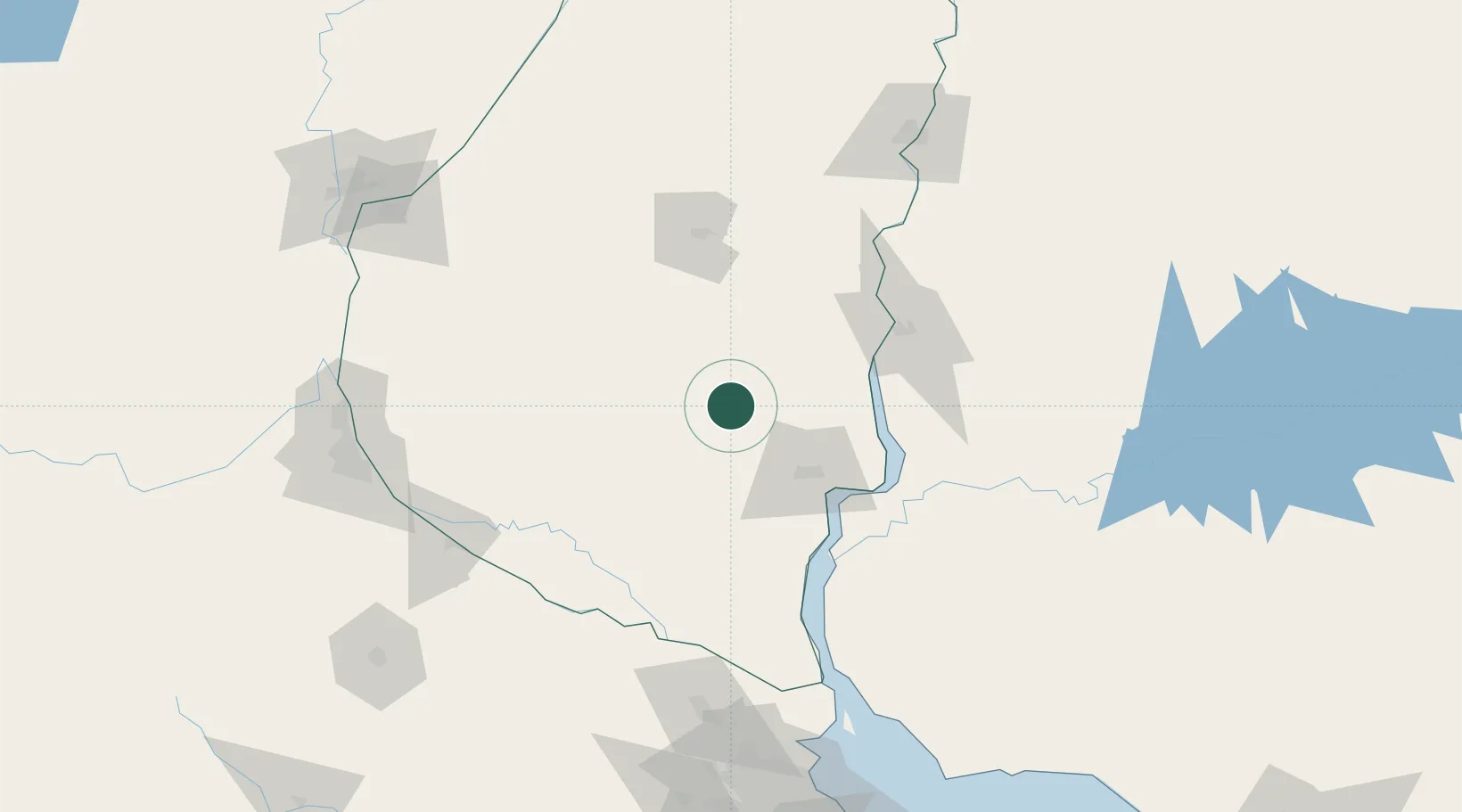
Location
Nearby Logistics Neighbours
Cities
- 1Gualeguaychú51 km
- 2Concepción del Uruguay65 km
- 3Nuevo Berlin85 km
- 4Colón87 km
- 5Nogoyá91 km
Ports
- 1Concepcion Del Uruguay65 km
- 2Fray Bentos72 km
- 3Paysandu87 km
- 4Colon87 km
- 5Puerto Ibicuy122 km
Airports
Trade Zones
- 1Zona Franca UPM76 km
- 2UPM Fray Bentos Free Zone76 km
- 3Nueva Palmira Free Zone141 km
- 4Montes de Plata Free Zone188 km
- 5Zona Sur Buenos Aires221 km
DatabookThe Record of Consolidated Knowledge
Argentina beyond logistics?