Medium airport · Uruguay
Nueva Hesperides International AirportSUSO
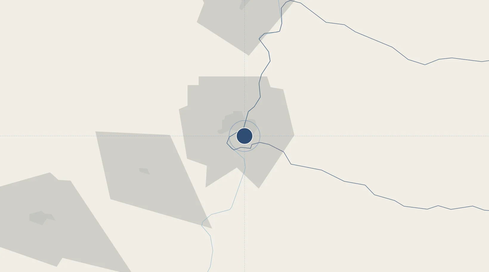
-31.4385°, -57.9853°
5,210 ft
Longest runway
2
Runways
187 ft
Elevation
Runway & Layout

Radio Frequencies
TWR
118.8 MHz
SALTO TWR
RDO
286 MHz
SALTO RDO
Navaids
ST NDB Salto 410 kHz
STO VOR Salto 117.90 MHz
Runways · 2
| Runway | Dimensions | Surface | True heading | Lit |
|---|---|---|---|---|
| 05/23 | 5,210 × 148ft | Asphalt | 039° | ✓ |
| 13/31 | 2,461 × 164ft | Grass | 116° | — |
Airport Specifications
IATA code
STY
ICAO code
SUSO
Airport class
Medium airport
Scheduled service
No
Runway surface
Asphalt
Served city
Salto
Location
Nearby Logistics Neighbours
Airports
- 1Comodoro Pierrestegui Airport16 km
- 2Tydeo Larre Borges Airport103 km
- 3Monte Caseros Airport134 km
- 4Gualeguaychu Airport184 km
- 5Curuzu Cuatia Airport186 km
Cities
- 1San Salvador53 km
- 2Chajarí75 km
- 3Colón88 km
- 4Mocoretá90 km
- 5Concepción del Uruguay119 km
Ports
- 1Concordia6 km
- 2Colon88 km
- 3Paysandu98 km
- 4Concepcion Del Uruguay119 km
- 5Fray Bentos189 km
Trade Zones
- 1UPM Fray Bentos Free Zone189 km
- 2Zona Franca UPM189 km
- 3Rivera Free Zone238 km
- 4Nueva Palmira Free Zone275 km
- 5Montes de Plata Free Zone310 km
DatabookThe Record of Consolidated Knowledge
Uruguay beyond logistics?