UN/LOCODE hub · Argentina
ARCOU
Concepción del Uruguay
-32.4833°, -58.2333°
67,895
Population
1
Transport functions
Transport Functions
Port
Hub Profile
Place type
Provincial seat
Region
Entre Rios
Population
67,895
Time zone
America/Argentina/Cordoba
Elevation
21 m
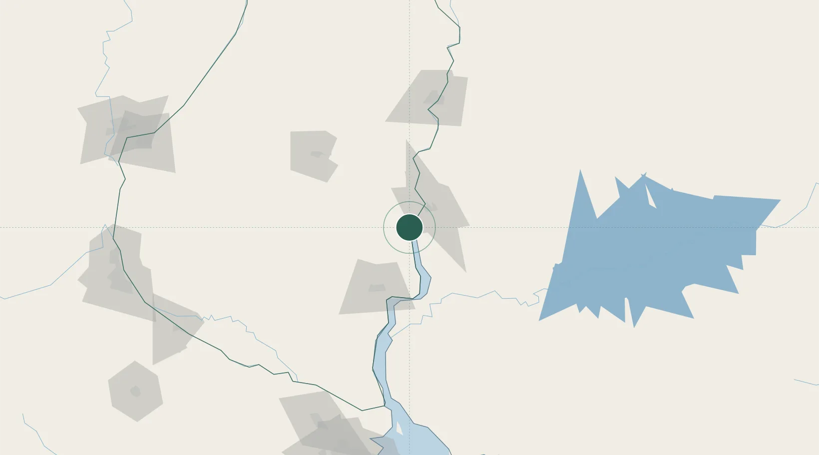
Location
Nearby Logistics Neighbours
Cities
- 1Colón31 km
- 2Nuevo Berlin58 km
- 3Urdurrain65 km
- 4Gualeguaychú65 km
- 5San Salvador100 km
Ports
- 1Paysandu24 km
- 2Colon31 km
- 3Fray Bentos71 km
- 4Concordia122 km
- 5Nueva Palmira157 km
Airports
Trade Zones
- 1Zona Franca UPM71 km
- 2UPM Fray Bentos Free Zone71 km
- 3Nueva Palmira Free Zone157 km
- 4Montes de Plata Free Zone194 km
- 5Colonia Free Zone224 km
DatabookThe Record of Consolidated Knowledge
Argentina beyond logistics?