UN/LOCODE hub · Argentina
ARGHU
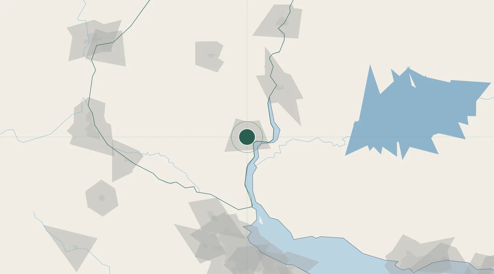
Gualeguaychú
-33.0167°, -58.5167°
78,676
Population
2
Transport functions
Transport Functions
Port
Airport
Hub Profile
Place type
Provincial seat
Region
Entre Rios
Population
78,676
Time zone
America/Argentina/Cordoba
Elevation
19 m
Location
Nearby Logistics Neighbours
Cities
- 1Nuevo Berlin44 km
- 2Urdurrain51 km
- 3Concepción del Uruguay65 km
- 4San Pedro96 km
- 5Colón96 km
Ports
- 1Fray Bentos22 km
- 2Concepcion Del Uruguay65 km
- 3Paysandu89 km
- 4Colon96 km
- 5Nueva Palmira97 km
Airports
- 1Gualeguaychu Airport9 km
- 2Tydeo Larre Borges Airport84 km
- 3San Fernando Airport160 km
- 4Aeroparque Jorge Newbery172 km
- 5El Palomar Airport177 km
Trade Zones
- 1Zona Franca UPM27 km
- 2UPM Fray Bentos Free Zone27 km
- 3Nueva Palmira Free Zone97 km
- 4Montes de Plata Free Zone141 km
- 5Colonia Free Zone174 km
DatabookThe Record of Consolidated Knowledge
Argentina beyond logistics?