UN/LOCODE hub · United States
USKTT
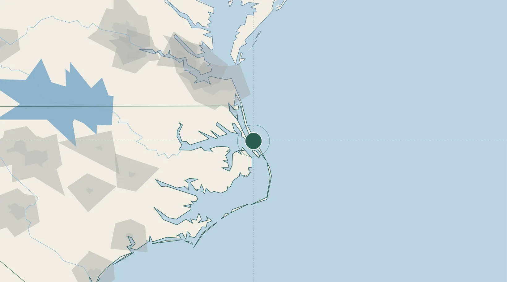
Kitty Hawk
36.0667°, -75.7000°
3,447
Population
2
Transport functions
Transport Functions
Port
Road
Hub Profile
Place type
Populated place
Region
North Carolina
Population
3,447
Time zone
America/New_York
Elevation
2 m
Location
Nearby Logistics Neighbours
Cities
- 1Powells Point16 km
- 2Jarvisburg21 km
- 3Corolla37 km
- 4Winton41 km
- 5South Mills69 km
Ports
- 1Columbia52 km
- 2Elizabeth City53 km
- 3Hertford70 km
- 4Edenton82 km
- 5Belhaven97 km
Airports
Trade Zones
- 1FTZ No. 020 Suffolk123 km
- 2FTZ No. 214 Lenoir County220 km
- 3FTZ No. 207 Richmond232 km
- 4FTZ No. 093 Raleigh Durham289 km
- 5FTZ No. 063 PrInce Georges County334 km
DatabookThe Record of Consolidated Knowledge
United States beyond logistics?