Transport Functions
Port
Road
Multimodal
Hub Profile
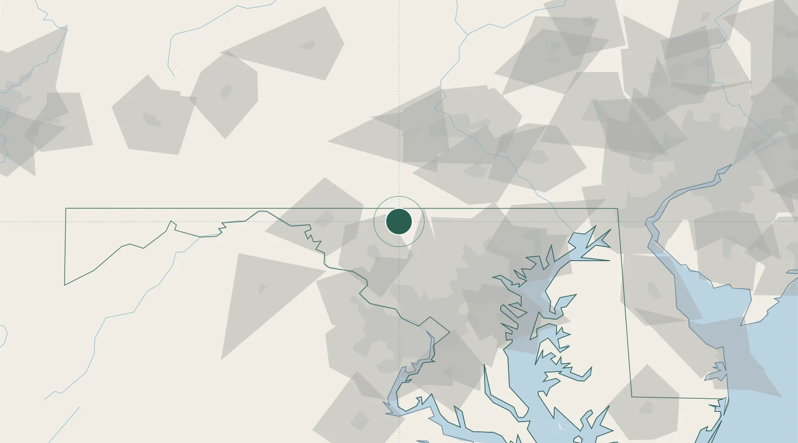
Place type
Populated place
Region
Maryland
Time zone
America/New_York
Elevation
152 m
Location
Nearby Logistics Neighbours
Cities
- 1Keymar4 km
- 2Woodsboro13 km
- 3Thurmont13 km
- 4Littlestown18 km
- 5McSherrystown28 km
Ports
- 1Baltimore70 km
- 2Washington D.C.87 km
- 3Alexandria95 km
- 4Annapolis98 km
- 5Havre De Grace101 km
Airports
Trade Zones
DatabookThe Record of Consolidated Knowledge
United States beyond logistics?