UN/LOCODE hub · United States
USZNR
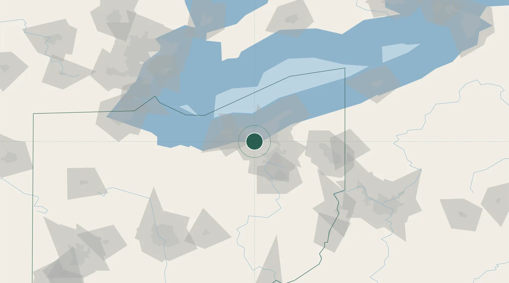
North Royalton
41.3138°, -81.7643°
30,311
Population
2
Transport functions
Transport Functions
Port
Road
Hub Profile
Place type
Populated place
Region
Ohio
Population
30,311
Time zone
America/New_York
Elevation
366 m
Logistics facilities
1
Location
Nearby Logistics Neighbours
Cities
- 1Berea8 km
- 2Grand Rapids13 km
- 3Olmsted Falls14 km
- 4Fairview Park15 km
- 5Cuyahoga Heights17 km
Airports
Trade Zones
- 1FTZ No. 040 Cleveland22 km
- 2FTZ No. 181 Akron Canton40 km
- 3FTZ No. 008 Toledo152 km
- 4Windsor - Essex Foreign Trade Zone153 km
- 5FTZ No. 247 Erie164 km
DatabookThe Record of Consolidated Knowledge
United States beyond logistics?