Transport Functions
Rail
Road
Multimodal
Hub Profile
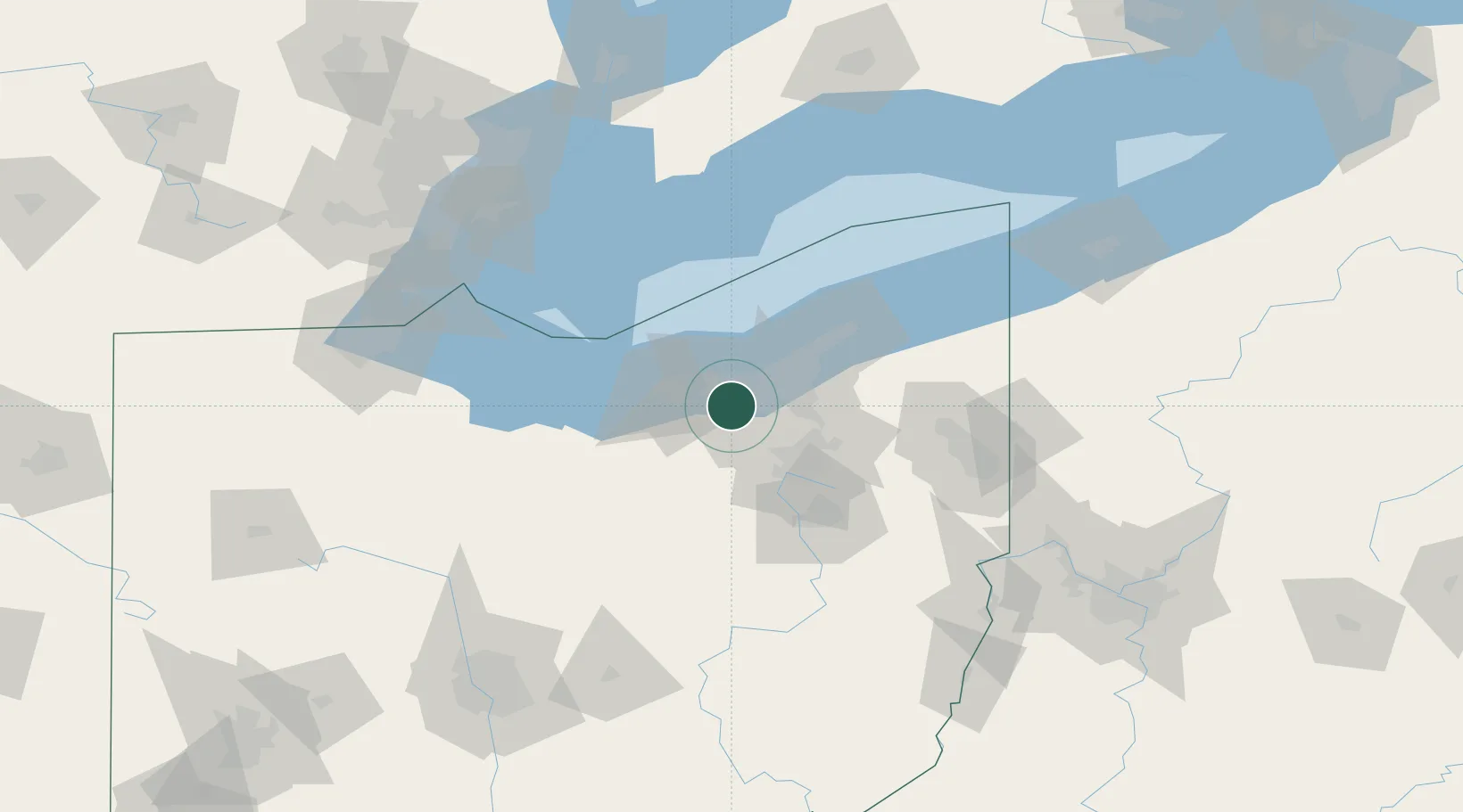
Place type
Populated place
Region
Ohio
Population
18,874
Time zone
America/New_York
Elevation
233 m
Location
Nearby Logistics Neighbours
Cities
- 1Olmsted Falls6 km
- 2Grand Rapids6 km
- 3North Royalton8 km
- 4Fairview Park9 km
- 5Rocky River13 km
Airports
Trade Zones
- 1FTZ No. 040 Cleveland16 km
- 2FTZ No. 181 Akron Canton45 km
- 3FTZ No. 008 Toledo144 km
- 4Windsor - Essex Foreign Trade Zone145 km
- 5FTZ No. 151 Findlay159 km
DatabookThe Record of Consolidated Knowledge
United States beyond logistics?