Transport Functions
Rail
Road
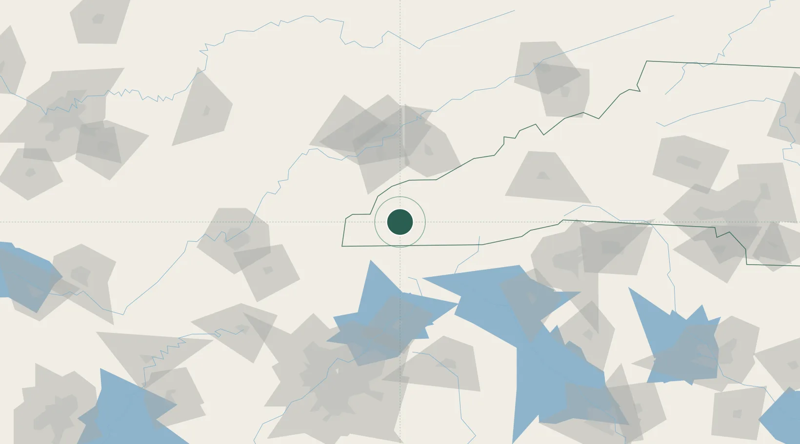
Hub Profile
Place type
Populated place
Region
North Carolina
Population
1,752
Time zone
America/New_York
Elevation
542 m
Location
Nearby Logistics Neighbours
Cities
- 1Marble11 km
- 2Murphy24 km
- 3Blairsville38 km
- 4Blairesville40 km
- 5Tellico Plains48 km
Ports
- 1Beaufort423 km
- 2Port Royal428 km
- 3Savannah429 km
- 4Charleston449 km
- 5Georgetown464 km
Airports
Trade Zones
- 1FTZ No. 148 Knoxville95 km
- 2FTZ No. 134 Chattanooga143 km
- 3FTZ No. 038 Spartanburg County147 km
- 4FTZ No. 026 Atlanta168 km
- 5FTZ No. 204 Tri-Cities191 km
DatabookThe Record of Consolidated Knowledge
United States beyond logistics?