Transport Functions
Road
Multimodal
Hub Profile
Place type
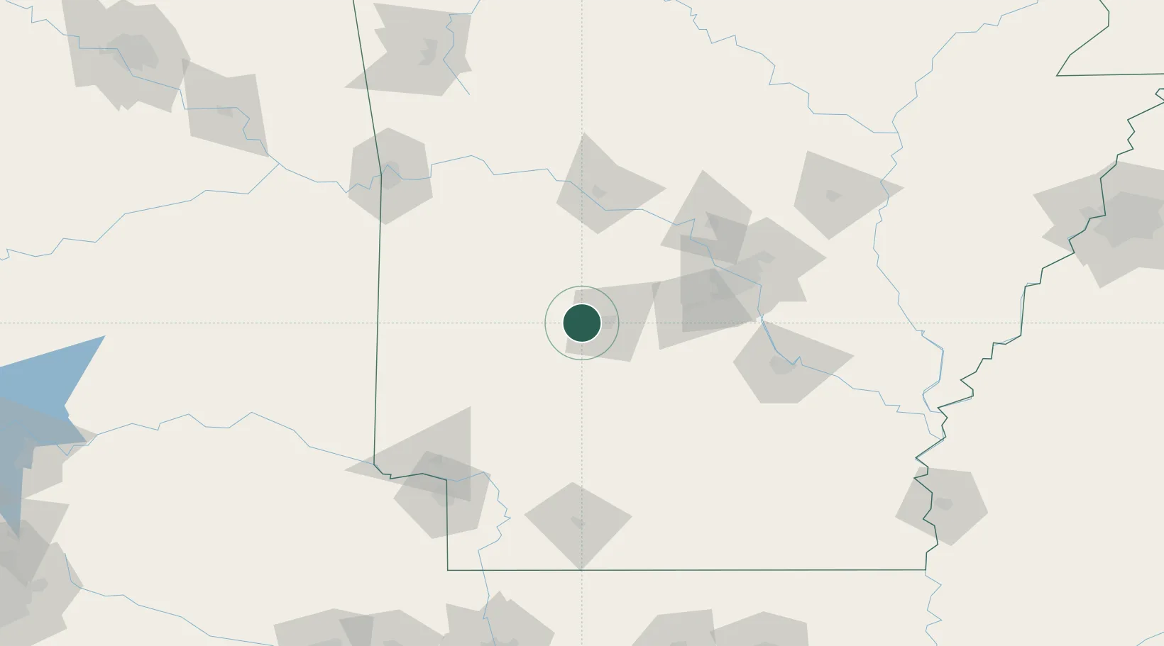
Populated place
Region
Arkansas
Time zone
America/Chicago
Elevation
149 m
Location
Nearby Logistics Neighbours
Cities
- 1Pearcy10 km
- 2Hot Springs National Park18 km
- 3Bismarck23 km
- 4Jones Mill33 km
- 5Glenwood33 km
Ports
- 1Port Of Memphis287 km
- 2Lake Charles476 km
- 3Baton Rouge490 km
- 4Orange493 km
- 5Beaumont498 km
Airports
Trade Zones
- 1FTZ No. 014 Little Rock98 km
- 2FTZ No. 258 Bowie County175 km
- 3FTZ No. 287 Tunica County235 km
- 4FTZ No. 145 Shreveport236 km
- 5FTZ No. 146 Lawrence County236 km
DatabookThe Record of Consolidated Knowledge
United States beyond logistics?