UN/LOCODE hub · United States
USHPP

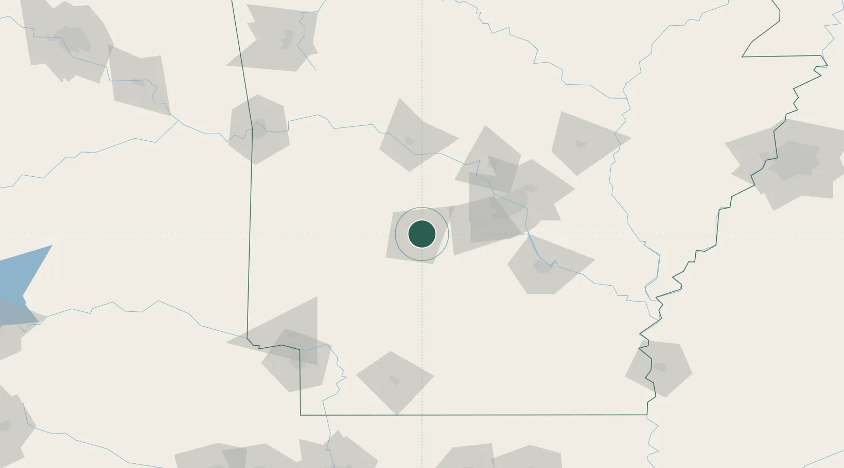
Hot Springs National Park

34.5167°, -93.0333°
2
Transport functions

Transport Functions

Road
Multimodal
UN/LOCODE

Hub Profile

Region
AR
GeoNames

Location

Location of USHPP
Natural Earth 10m (public domain) · AR · USHPP · 34.52, -93.03GoogleOSMYandex

Nearby Logistics Neighbours

Cities
  1. 1Jones Mill17 km
  2. 2Royal18 km
  3. 3Pearcy26 km
  4. 4Bismarck27 km
  5. 5Malvern27 km
Nearest neighbours — logibook spatial index (haversine) over the source coordinates
Ports
  1. 1Port Of Memphis269 km
  2. 2Lake Charles479 km
  3. 3Baton Rouge484 km
  4. 4Orange497 km
  5. 5Beaumont503 km
Nearest neighbours — logibook spatial index (haversine) over the source coordinates
Airports
  1. 1Memorial Field Airport7 km
  2. 2Saline County Regional Airport51 km
  3. 3Bill & Hillary Clinton National Airport/Adams Field78 km
  4. 4Little Rock Air Force Base92 km
  5. 5Pine Bluff Regional Airport, Grider Field108 km
Nearest neighbours — logibook spatial index (haversine) over the source coordinates
Trade Zones
  1. 1FTZ No. 014 Little Rock80 km
  2. 2FTZ No. 258 Bowie County191 km
  3. 3FTZ No. 287 Tunica County217 km
  4. 4FTZ No. 145 Shreveport244 km
  5. 5FTZ No. 146 Lawrence County244 km
Nearest neighbours — logibook spatial index (haversine) over the source coordinates
DatabookThe Record of Consolidated Knowledge
United States beyond logistics?
Browse databook

All Sources

LocationsUN/LOCODE
UN/LOCODE — free
Portsthe NGA World Port Index
Public domain (US gov)
AirportsOurAirports
Public domain
Trade Zonesthe World Bank SEZ database
CC BY 4.0
Trade ZonesOpen Zone Map
CC BY
← United States locations