UN/LOCODE hub · United States
USJ3C
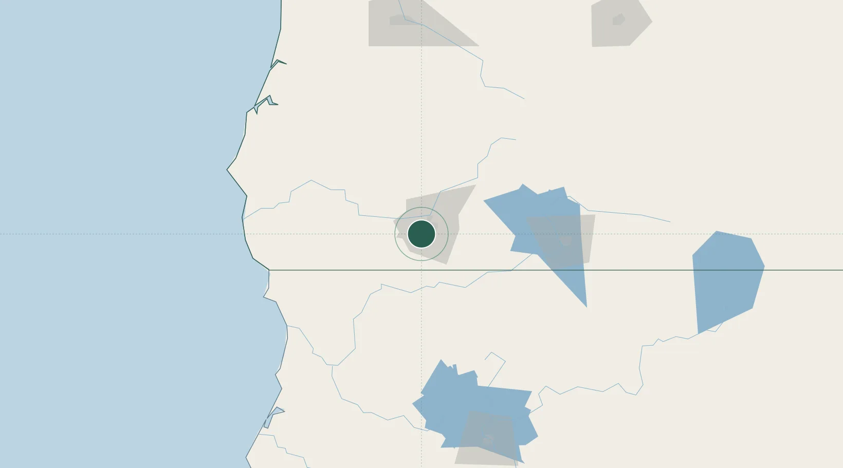
Jacksonville
42.3000°, -122.9500°
2,883
Population
2
Transport functions
Transport Functions
Port
Road
Hub Profile
Place type
Populated place
Region
Oregon
Population
2,883
Time zone
America/Los_Angeles
Elevation
477 m
Location
Nearby Logistics Neighbours
Cities
- 1Central Point10 km
- 2Phoenix13 km
- 3Talent16 km
- 4Gold Hill17 km
- 5Rogue River23 km
Ports
- 1Crescent City120 km
- 2Port Orford136 km
- 3Prosper149 km
- 4Bandon150 km
- 5Coos Bay157 km
Airports
Trade Zones
- 1FTZ No. 132 Coos County157 km
- 2FTZ No. 248 Eureka195 km
- 3FTZ No. 045 Portland361 km
- 4FTZ No. 255 Washington County363 km
- 5FTZ No. 296 Vancouver372 km
DatabookThe Record of Consolidated Knowledge
United States beyond logistics?