UN/LOCODE hub · United States
USZBB
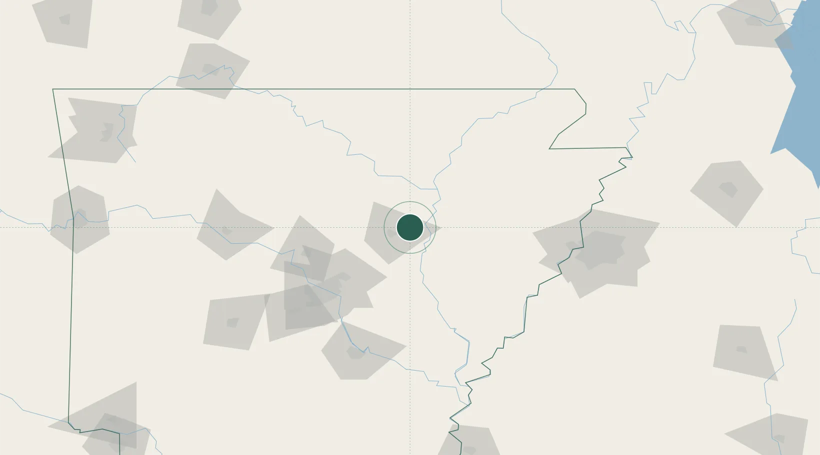
Bald Knob
35.3167°, -91.5667°
2,908
Population
2
Transport functions
Transport Functions
Rail
Road
Hub Profile
Place type
Populated place
Region
Arkansas
Population
2,908
Time zone
America/Chicago
Elevation
69 m
Location
Nearby Logistics Neighbours
Cities
- 1Judsonia8 km
- 2Kensett9 km
- 3Magness44 km
- 4Cotton Plant46 km
- 5Ward48 km
Ports
- 1Port Of Memphis130 km
- 2Baton Rouge542 km
- 3Madisonville563 km
- 4Slidell586 km
- 5Lake Charles589 km
Airports
Trade Zones
- 1FTZ No. 014 Little Rock88 km
- 2FTZ No. 287 Tunica County110 km
- 3FTZ No. 077 Memphis121 km
- 4FTZ No. 273 West Memphis126 km
- 5FTZ No. 223 Memphis134 km
DatabookThe Record of Consolidated Knowledge
United States beyond logistics?