Transport Functions
Road
Multimodal
Hub Profile
Place type
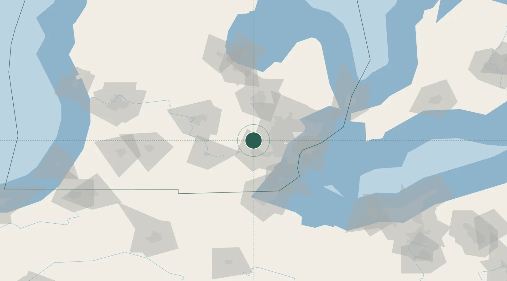
Populated place
Region
Michigan
Time zone
America/Detroit
Elevation
290 m
Location
Nearby Logistics Neighbours
Cities
- 1Dexter15 km
- 2New Hudson16 km
- 3Milford22 km
- 4Highland25 km
- 5Willow Run26 km
Ports
- 1Wyandotte57 km
- 2Trenton60 km
- 3Detroit61 km
- 4Windsor62 km
- 5Amherstburg66 km
Airports
Trade Zones
- 1FTZ No. 070 Detroit44 km
- 2Windsor - Essex Foreign Trade Zone62 km
- 3FTZ No. 140 Flint64 km
- 4FTZ No. 284 Genesee County65 km
- 5FTZ No. 008 Toledo89 km
DatabookThe Record of Consolidated Knowledge
United States beyond logistics?