UN/LOCODE hub · United States
USAHX
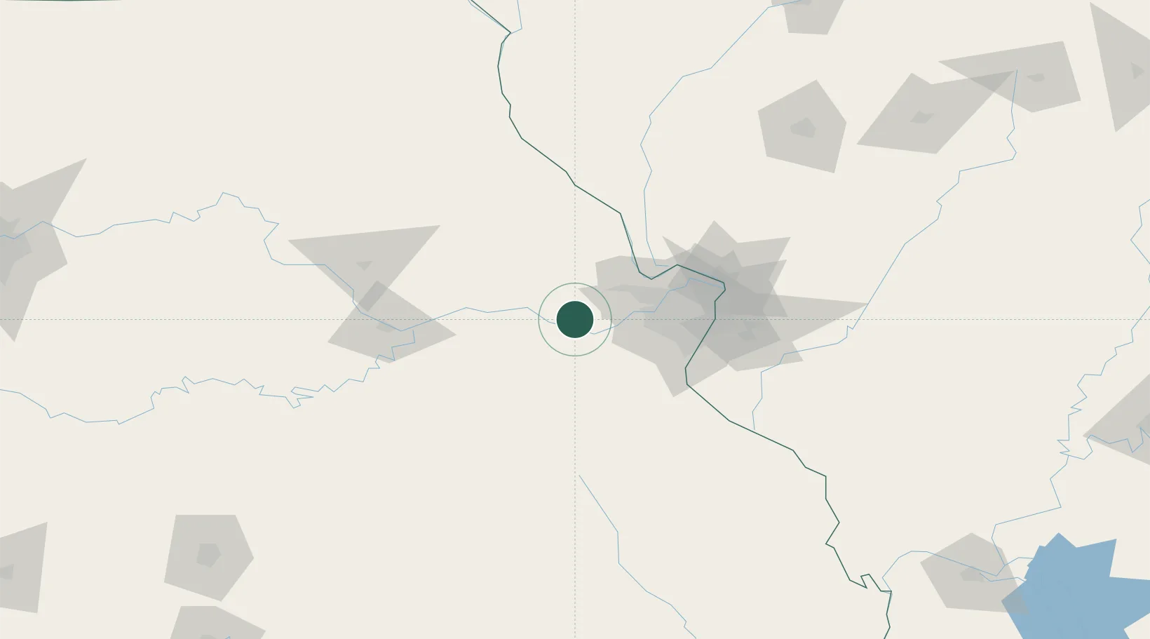
Marthasville
38.6333°, -91.0500°
1,152
Population
2
Transport functions
Transport Functions
Rail
Road
Hub Profile
Place type
Populated place
Region
Missouri
Population
1,152
Time zone
America/Chicago
Elevation
171 m
Location
Nearby Logistics Neighbours
Cities
- 1Dutzow7 km
- 2New Haven15 km
- 3Augusta18 km
- 4Union, Franklin21 km
- 5Labadie22 km
Ports
- 1Port Of Memphis404 km
- 2Indiana Harbor456 km
- 3Calumet Harbor457 km
- 4Gary458 km
- 5Chicago465 km
Airports
Trade Zones
- 1FTZ No. 102 St. Louis County30 km
- 2FTZ No. 031 Granite City75 km
- 3FTZ No. 245 Decatur219 km
- 4FTZ No. 055 Burlington242 km
- 5FTZ No. 225 Springfield244 km
DatabookThe Record of Consolidated Knowledge
United States beyond logistics?