Transport Functions
Port
Road
Hub Profile
Place type
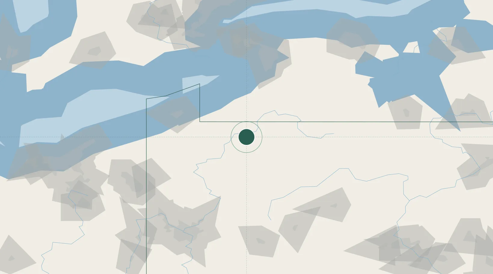
Populated place
Region
Pennsylvania
Time zone
America/New_York
Elevation
430 m
Location
Nearby Logistics Neighbours
Cities
- 1Frewsburg30 km
- 2Hazelton Mills34 km
- 3Falconer38 km
- 4Wilcox42 km
- 5Tionesta44 km
Ports
- 1Dunkirk80 km
- 2Erie92 km
- 3Conneaut122 km
- 4Port Colborne123 km
- 5Buffalo124 km
Airports
Trade Zones
- 1FTZ No. 254 Jefferson County49 km
- 2FTZ No. 295 Central Pennsylvania81 km
- 3FTZ No. 247 Erie91 km
- 4FTZ No. 023 Buffalo123 km
- 5Niagara Foreign Trade Zone146 km
DatabookThe Record of Consolidated Knowledge
United States beyond logistics?