Transport Functions
Multimodal
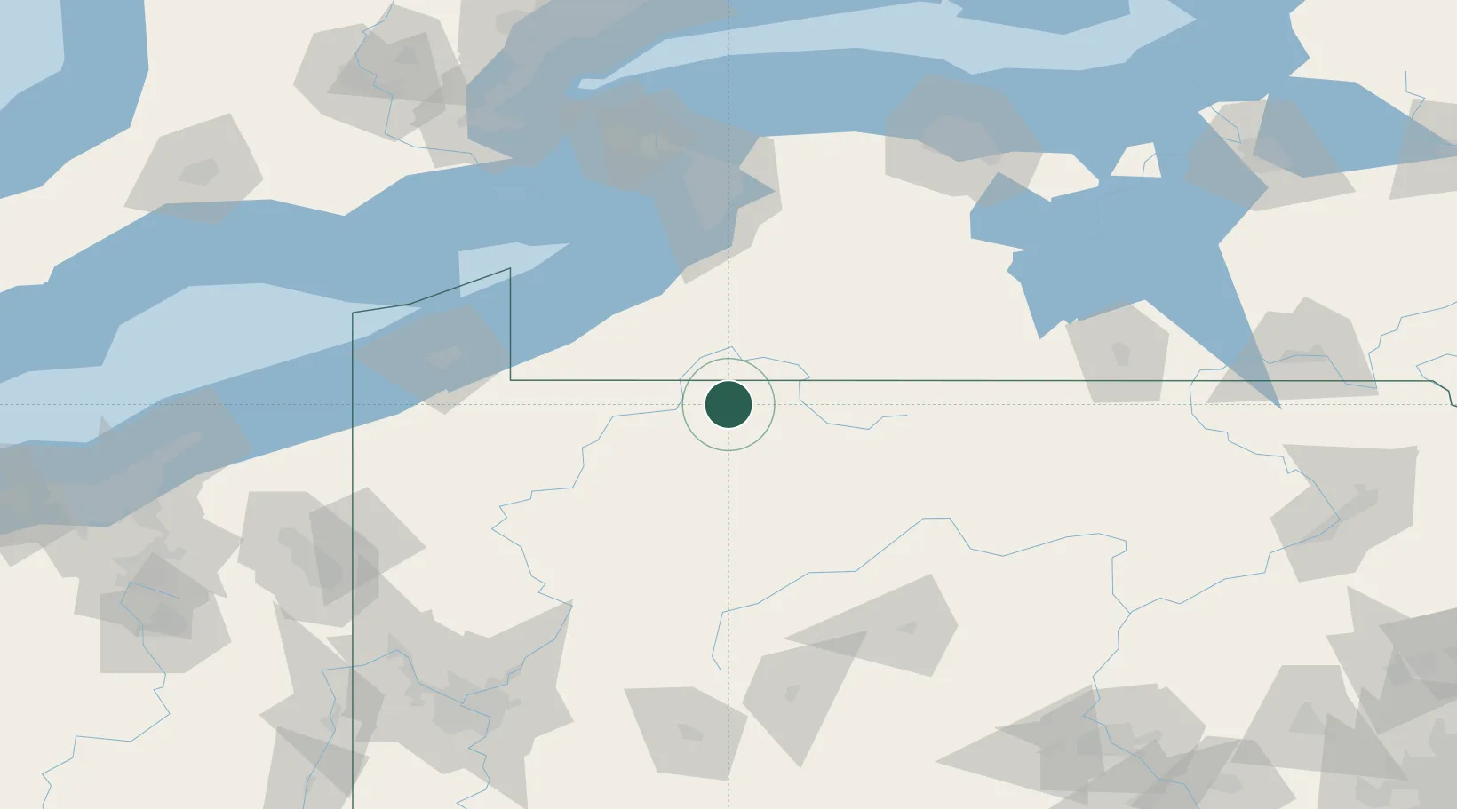
Hub Profile
Place type
Populated place
Region
Pennsylvania
Time zone
America/New_York
Elevation
513 m
Location
Nearby Logistics Neighbours
Cities
- 1Mckean16 km
- 2Vandalia25 km
- 3Smethport25 km
- 4Salamanca30 km
- 5Clarendon Heights34 km
Ports
- 1Dunkirk84 km
- 2Buffalo112 km
- 3Erie118 km
- 4Port Colborne120 km
- 5Tonawanda129 km
Airports
Trade Zones
- 1FTZ No. 254 Jefferson County50 km
- 2FTZ No. 295 Central Pennsylvania86 km
- 3FTZ No. 023 Buffalo111 km
- 4FTZ No. 247 Erie118 km
- 5Niagara Foreign Trade Zone137 km
DatabookThe Record of Consolidated Knowledge
United States beyond logistics?