UN/LOCODE hub · United States
USAOR
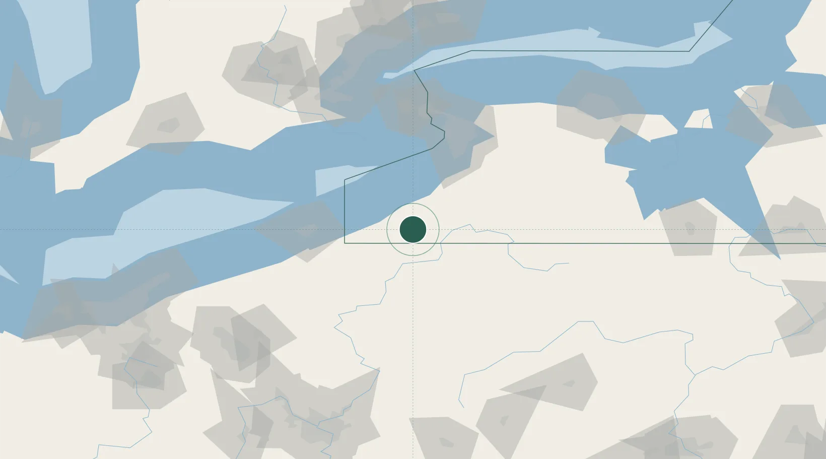
Falconer
42.1167°, -79.1833°
2,321
Population
3
Transport functions
Transport Functions
Rail
Road
Multimodal
Hub Profile
Place type
Populated place
Region
New York
Population
2,321
Time zone
America/New_York
Elevation
385 m
Location
Nearby Logistics Neighbours
Cities
- 1Frewsburg8 km
- 2Stow18 km
- 3Chautauqua25 km
- 4Mayville30 km
- 5Clarendon Heights38 km
Ports
- 1Dunkirk43 km
- 2Erie76 km
- 3Port Colborne85 km
- 4Port Maitland88 km
- 5Buffalo89 km
Airports
Trade Zones
- 1FTZ No. 247 Erie76 km
- 2FTZ No. 254 Jefferson County84 km
- 3FTZ No. 023 Buffalo88 km
- 4Niagara Foreign Trade Zone109 km
- 5FTZ No. 295 Central Pennsylvania118 km
DatabookThe Record of Consolidated Knowledge
United States beyond logistics?