UN/LOCODE hub · United States
USWMJ
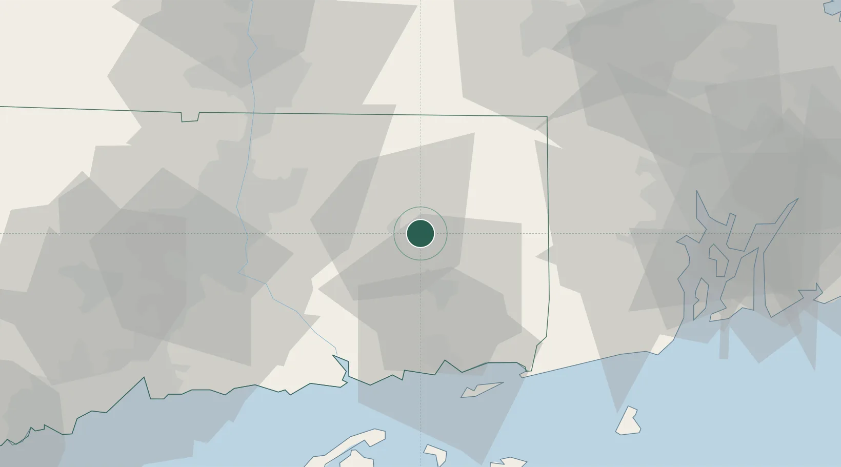
Windham
41.7000°, -72.1500°
23,072
Population
3
Transport functions
Transport Functions
Port
Rail
Road
Hub Profile
Place type
Populated place
Region
Connecticut
Population
23,072
Time zone
America/New_York
Elevation
86 m
Location
Nearby Logistics Neighbours
Cities
- 1South Windham2 km
- 2Willimantic4 km
- 3North Windham6 km
- 4North Franklin8 km
- 5Coventry15 km
Ports
- 1Norwich21 km
- 2New London39 km
- 3Mystic42 km
- 4Essex44 km
- 5Noank45 km
Airports
Trade Zones
DatabookThe Record of Consolidated Knowledge
United States beyond logistics?