UN/LOCODE hub · United States
USZBT

Butner

36.1333°, -78.7500°
7,751
Population
2
Transport functions

Transport Functions

Rail
Road
UN/LOCODE

Hub Profile

Place type
Populated place
GeoNames
Region
North Carolina
GeoNames
Population
7,751
GeoNames
Time zone
America/New_York
GeoNames
Elevation
113 m
GeoNames

Location

Location of USZBT
Natural Earth 10m (public domain) · North Carolina · USZBT · 36.13, -78.75GoogleOSMYandex

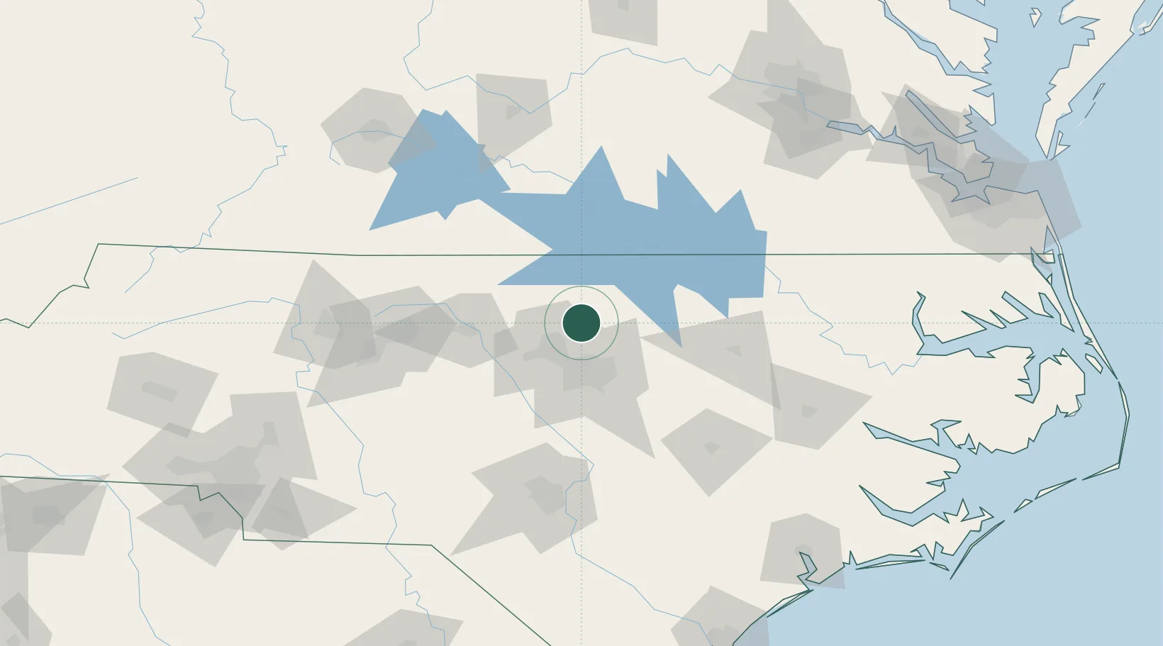
Nearby Logistics Neighbours

Cities
  1. 1Creedmoor6 km
  2. 2Research Triangle Park29 km
  3. 3Hillsborough32 km
  4. 4Morrisville36 km
  5. 5Rolesville36 km
Nearest neighbours — logibook spatial index (haversine) over the source coordinates
Ports
  1. 1Washington166 km
  2. 2Plymouth182 km
  3. 3New Bern192 km
  4. 4Edenton192 km
  5. 5Richmond196 km
Nearest neighbours — logibook spatial index (haversine) over the source coordinates
Airports
  1. 1Raleigh-Durham International Airport29 km
  2. 2Lake Country Regional Airport54 km
  3. 3Danville Regional Airport72 km
  4. 4Johnston Regional Airport73 km
  5. 5Rocky Mount Wilson Regional Airport83 km
Nearest neighbours — logibook spatial index (haversine) over the source coordinates
Trade Zones
  1. 1FTZ No. 093 Raleigh Durham29 km
  2. 2FTZ No. 230 Piedmont Triad Area126 km
  3. 3FTZ No. 214 Lenoir County128 km
  4. 4FTZ No. 207 Richmond187 km
  5. 5FTZ No. 238 Dublin204 km
Nearest neighbours — logibook spatial index (haversine) over the source coordinates
DatabookThe Record of Consolidated Knowledge
United States beyond logistics?
Browse databook

All Sources

LocationsUN/LOCODE
UN/LOCODE — free
LocationsGeoNames
CC BY 4.0
Portsthe NGA World Port Index
Public domain (US gov)
AirportsOurAirports
Public domain
Trade Zonesthe World Bank SEZ database
CC BY 4.0
Trade ZonesOpen Zone Map
CC BY
← United States locations