UN/LOCODE hub · United States
USRVF
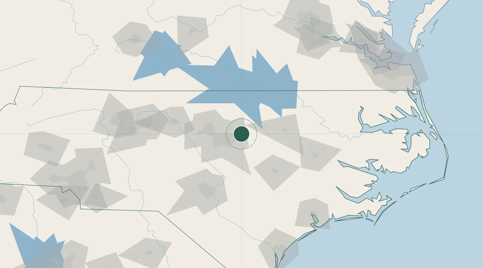
Rolesville
35.9167°, -78.4500°
6,289
Population
2
Transport functions
Transport Functions
Road
Multimodal
Hub Profile
Place type
Populated place
Region
North Carolina
Population
6,289
Time zone
America/New_York
Elevation
135 m
Location
Nearby Logistics Neighbours
Cities
- 1Knightdale15 km
- 2Salemburg24 km
- 3Middlesex27 km
- 4Garner28 km
- 5Creedmoor31 km
Ports
- 1Washington133 km
- 2Plymouth153 km
- 3New Bern156 km
- 4Edenton166 km
- 5Belhaven169 km
Airports
Trade Zones
- 1FTZ No. 093 Raleigh Durham41 km
- 2FTZ No. 214 Lenoir County93 km
- 3FTZ No. 230 Piedmont Triad Area156 km
- 4FTZ No. 207 Richmond196 km
- 5FTZ No. 020 Suffolk201 km
DatabookThe Record of Consolidated Knowledge
United States beyond logistics?