UN/LOCODE hub · United States
USZCE
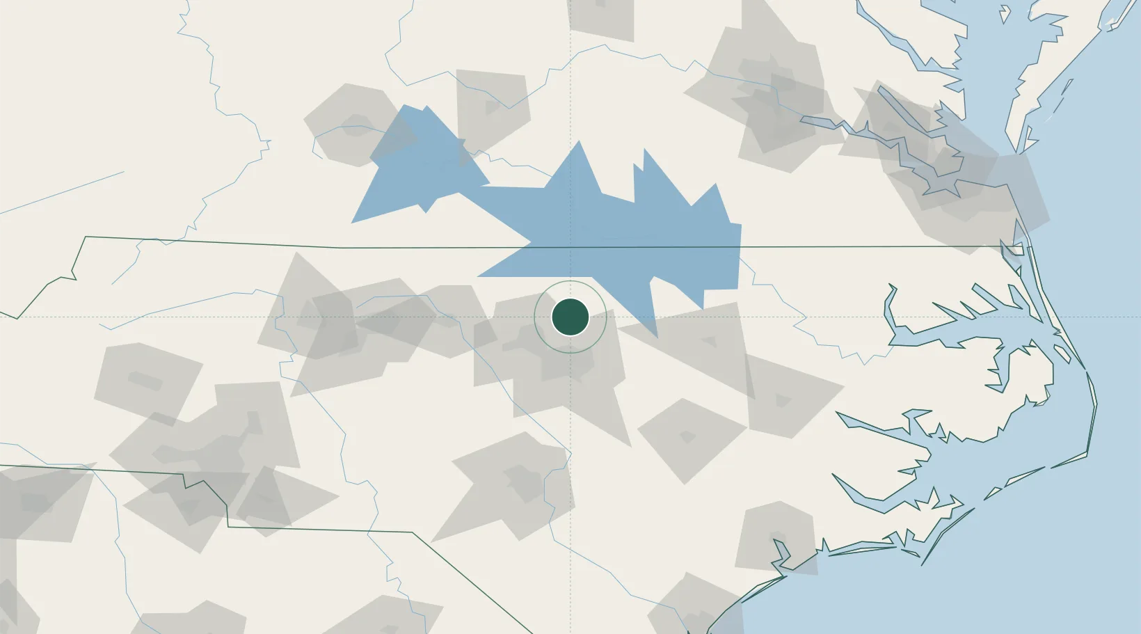
Creedmoor
36.1167°, -78.6833°
4,425
Population
3
Transport functions
Transport Functions
Port
Rail
Road
Hub Profile
Place type
Populated place
Region
North Carolina
Population
4,425
Time zone
America/New_York
Elevation
113 m
Location
Nearby Logistics Neighbours
Cities
- 1Butner6 km
- 2Research Triangle Park30 km
- 3Rolesville31 km
- 4Morrisville36 km
- 5Hillsborough38 km
Ports
- 1Washington160 km
- 2Plymouth176 km
- 3Edenton186 km
- 4New Bern186 km
- 5Richmond194 km
Airports
Trade Zones
- 1FTZ No. 093 Raleigh Durham31 km
- 2FTZ No. 214 Lenoir County123 km
- 3FTZ No. 230 Piedmont Triad Area132 km
- 4FTZ No. 207 Richmond186 km
- 5FTZ No. 020 Suffolk208 km
DatabookThe Record of Consolidated Knowledge
United States beyond logistics?