UN/LOCODE hub · United States
USUNT
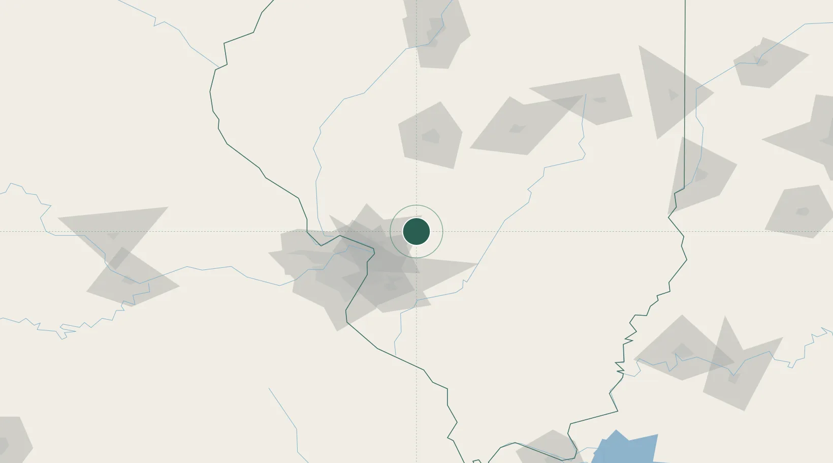
Staunton
39.0000°, -89.7833°
5,018
Population
2
Transport functions
Transport Functions
Rail
Road
Hub Profile
Place type
Populated place
Region
Illinois
Population
5,018
Time zone
America/Chicago
Elevation
189 m
Location
Nearby Logistics Neighbours
Cities
- 1Worden9 km
- 2Hamel14 km
- 3Bunker Hill15 km
- 4South Roxana31 km
- 5Carlinville33 km
Ports
- 1Indiana Harbor357 km
- 2Gary358 km
- 3Calumet Harbor360 km
- 4Chicago370 km
- 5Wilmette386 km
Airports
Trade Zones
- 1FTZ No. 031 Granite City46 km
- 2FTZ No. 102 St. Louis County89 km
- 3FTZ No. 245 Decatur114 km
- 4FTZ No. 114 Peoria189 km
- 5FTZ No. 177 Evansville219 km
DatabookThe Record of Consolidated Knowledge
United States beyond logistics?