Transport Functions
Road
Multimodal
Hub Profile
Place type
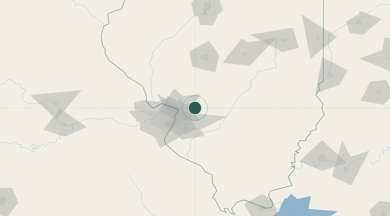
Populated place
Region
Illinois
Population
806
Time zone
America/Chicago
Elevation
167 m
Location
Nearby Logistics Neighbours
Cities
- 1Worden6 km
- 2Staunton14 km
- 3Bunker Hill20 km
- 4South Roxana20 km
- 5Edwardsville23 km
Ports
- 1Indiana Harbor370 km
- 2Gary371 km
- 3Calumet Harbor373 km
- 4Chicago383 km
- 5Wilmette400 km
Airports
Trade Zones
- 1FTZ No. 031 Granite City36 km
- 2FTZ No. 102 St. Louis County80 km
- 3FTZ No. 245 Decatur127 km
- 4FTZ No. 114 Peoria203 km
- 5FTZ No. 177 Evansville217 km
DatabookThe Record of Consolidated Knowledge
United States beyond logistics?