Transport Functions
Rail
Road
Multimodal
Hub Profile
Place type
Populated place
Region
Illinois
Population
1,028
Time zone
America/Chicago
Elevation
173 m
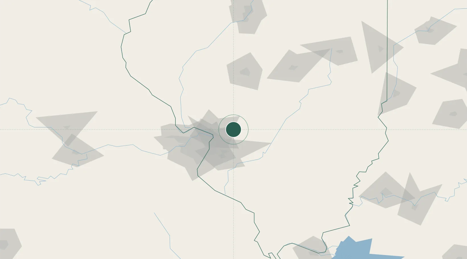
Location
Nearby Logistics Neighbours
Cities
- 1Hamel6 km
- 2Staunton9 km
- 3Bunker Hill15 km
- 4South Roxana23 km
- 5Edwardsville27 km
Ports
- 1Indiana Harbor366 km
- 2Gary366 km
- 3Calumet Harbor368 km
- 4Chicago379 km
- 5Wilmette395 km
Airports
Trade Zones
- 1FTZ No. 031 Granite City39 km
- 2FTZ No. 102 St. Louis County82 km
- 3FTZ No. 245 Decatur122 km
- 4FTZ No. 114 Peoria197 km
- 5FTZ No. 177 Evansville220 km
DatabookThe Record of Consolidated Knowledge
United States beyond logistics?