Transport Functions
Port
Rail
Road
Multimodal
Hub Profile
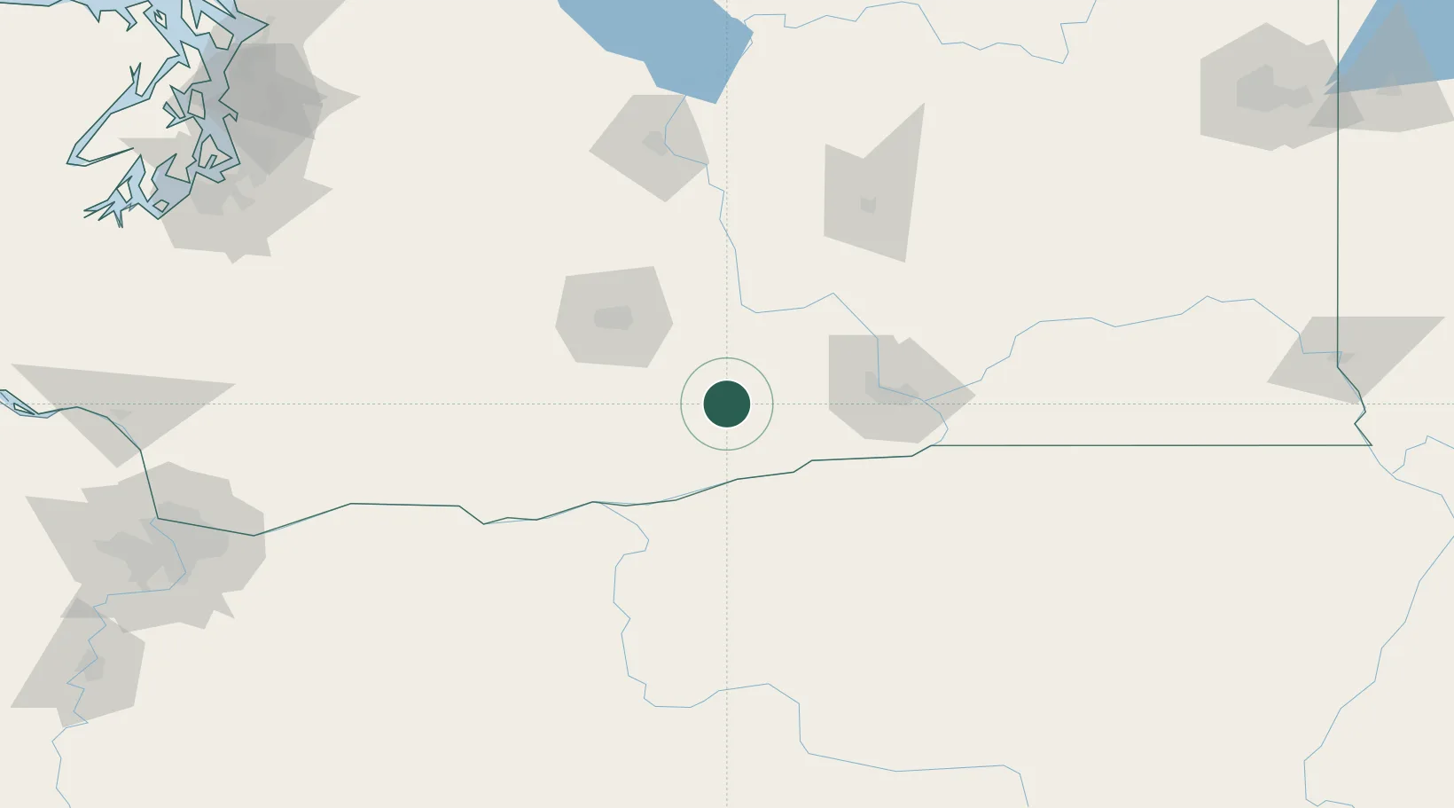
Place type
Populated place
Region
Washington
Population
2,302
Time zone
America/Los_Angeles
Elevation
218 m
Location
Nearby Logistics Neighbours
Cities
- 1Outlook15 km
- 2Granger21 km
- 3Benton City39 km
- 4Paterson42 km
- 5Harrah48 km
Ports
- 1The Dalles114 km
- 2Washougal196 km
- 3Camas199 km
- 4Vancouver218 km
- 5St Helens221 km
Airports
Trade Zones
- 1FTZ No. 203 Moses Lake115 km
- 2FTZ No. 296 Vancouver218 km
- 3FTZ No. 086 Tacoma220 km
- 4FTZ No. 212 Tacoma226 km
- 5FTZ No. 045 Portland230 km
DatabookThe Record of Consolidated Knowledge
United States beyond logistics?