Transport Functions
Port
Rail
Road
Hub Profile
Place type
Populated place
Region
Washington
Time zone
America/Los_Angeles
Elevation
117 m
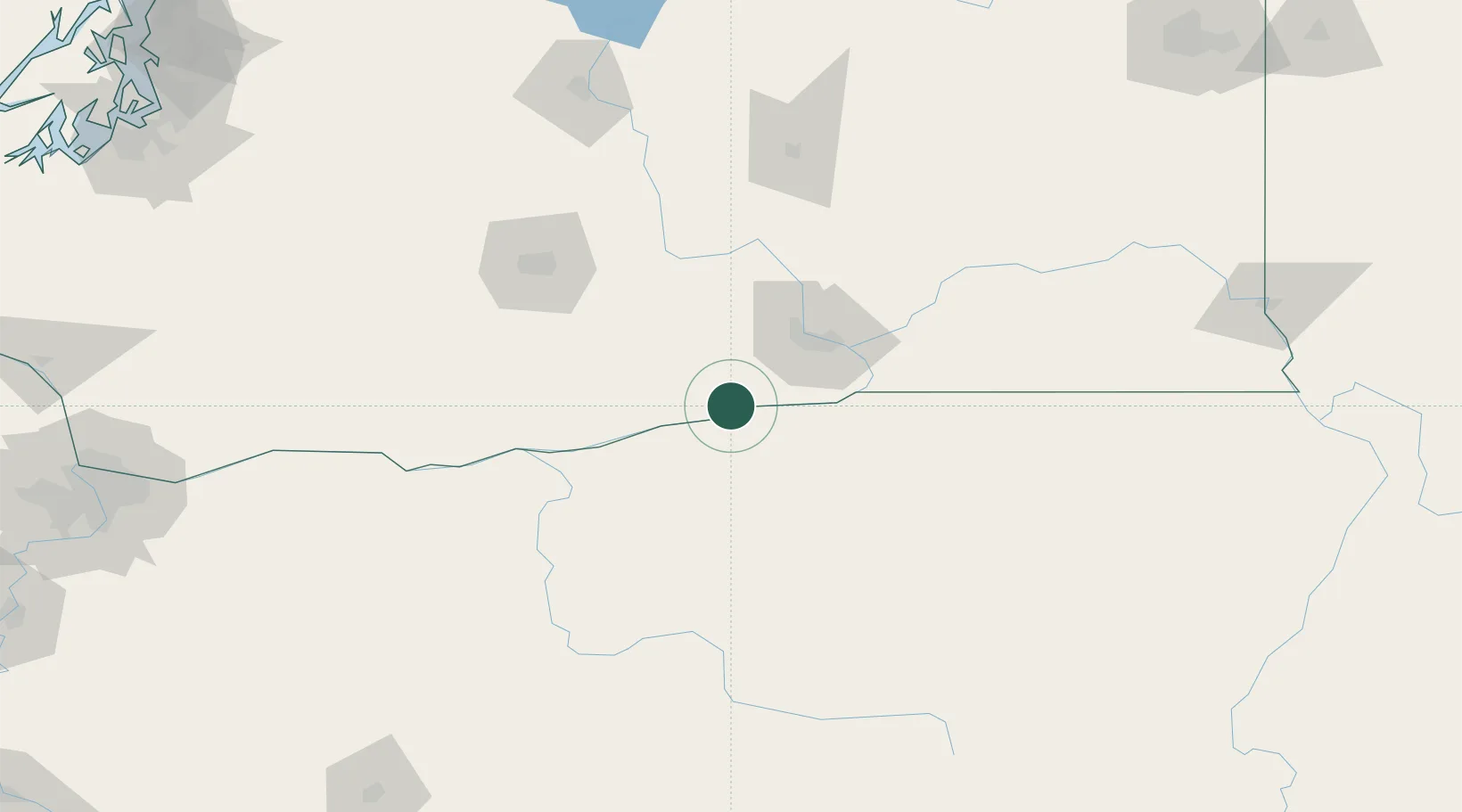
Location
Nearby Logistics Neighbours
Cities
- 1Irrigon11 km
- 2Benton City36 km
- 3Mabton42 km
- 4Tri-Cities51 km
- 5Roosevelt52 km
Ports
- 1The Dalles128 km
- 2Washougal217 km
- 3Camas221 km
- 4Vancouver241 km
- 5Portland243 km
Airports
Trade Zones
- 1FTZ No. 203 Moses Lake135 km
- 2FTZ No. 296 Vancouver242 km
- 3FTZ No. 045 Portland252 km
- 4FTZ No. 224 Spokane252 km
- 5FTZ No. 086 Tacoma261 km
DatabookThe Record of Consolidated Knowledge
United States beyond logistics?