Transport Functions
Port
Road
Hub Profile
Place type
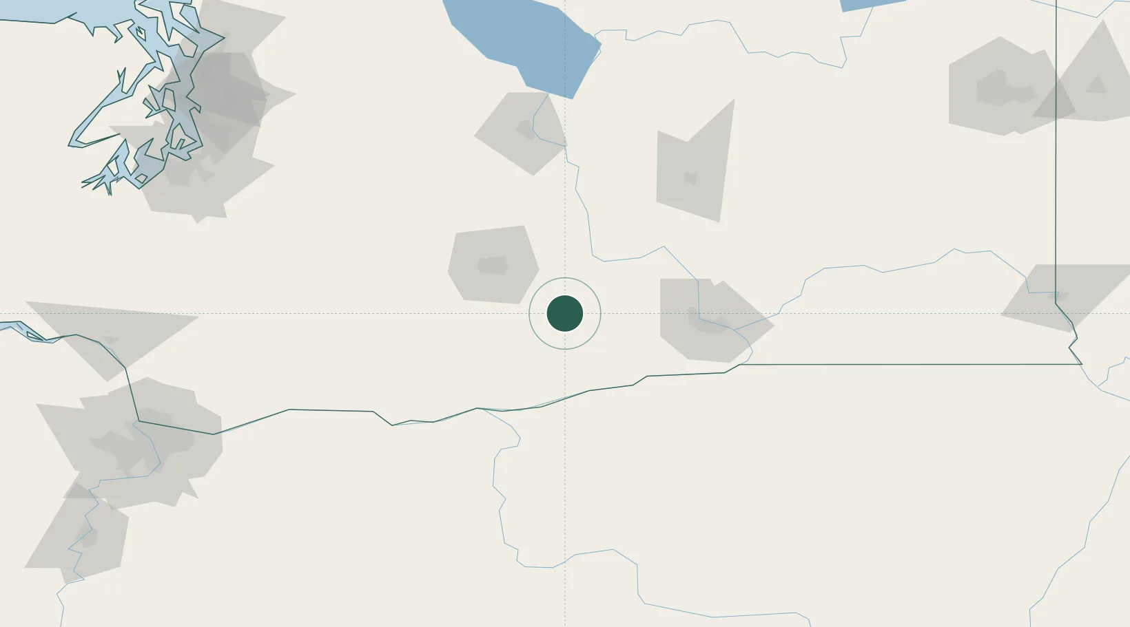
Populated place
Region
Washington
Population
292
Time zone
America/Los_Angeles
Elevation
239 m
Location
Nearby Logistics Neighbours
Cities
- 1Granger8 km
- 2Mabton15 km
- 3Moxee City34 km
- 4Harrah36 km
- 5Union Gap39 km
Ports
- 1The Dalles117 km
- 2Washougal193 km
- 3Camas197 km
- 4Tacoma208 km
- 5Vancouver215 km
Airports
Trade Zones
- 1FTZ No. 203 Moses Lake107 km
- 2FTZ No. 086 Tacoma206 km
- 3FTZ No. 212 Tacoma213 km
- 4FTZ No. 296 Vancouver215 km
- 5FTZ No. 120 Cowlitz County226 km
DatabookThe Record of Consolidated Knowledge
United States beyond logistics?