UN/LOCODE hub · United States
USIJM
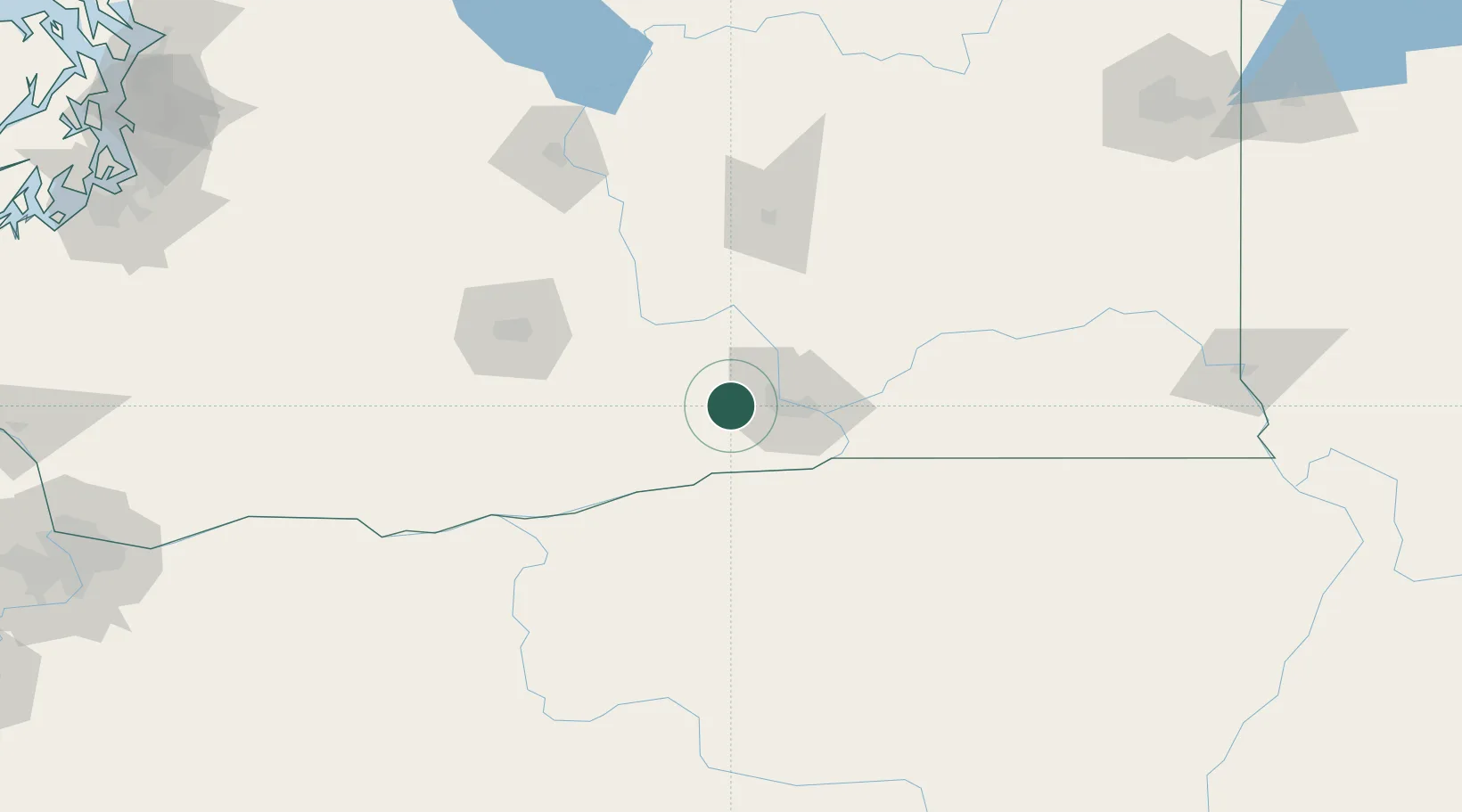
Benton City
46.2500°, -119.4833°
3,234
Population
2
Transport functions
Transport Functions
Port
Multimodal
Hub Profile
Place type
Populated place
Region
Washington
Population
3,234
Time zone
America/Los_Angeles
Elevation
152 m
Location
Nearby Logistics Neighbours
Cities
- 1Tri-Cities28 km
- 2Paterson36 km
- 3Villard Junction38 km
- 4Mabton39 km
- 5Irrigon41 km
Ports
- 1The Dalles150 km
- 2Washougal234 km
- 3Camas238 km
- 4Tacoma251 km
- 5Vancouver257 km
Airports
Trade Zones
- 1FTZ No. 203 Moses Lake99 km
- 2FTZ No. 224 Spokane219 km
- 3FTZ No. 086 Tacoma250 km
- 4FTZ No. 296 Vancouver257 km
- 5FTZ No. 212 Tacoma257 km
DatabookThe Record of Consolidated Knowledge
United States beyond logistics?