Transport Functions
Road
Multimodal
Hub Profile
Place type
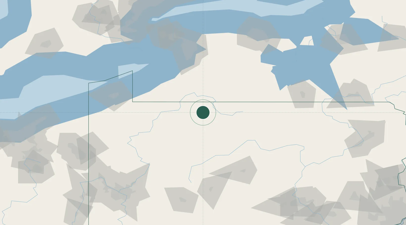
Populated place
Region
Pennsylvania
Time zone
America/New_York
Elevation
642 m
Location
Nearby Logistics Neighbours
Cities
- 1Smethport10 km
- 2Hazelton Mills16 km
- 3Vandalia30 km
- 4Wilcox30 km
- 5Portville30 km
Ports
- 1Dunkirk98 km
- 2Buffalo122 km
- 3Port Colborne132 km
- 4Erie133 km
- 5Tonawanda138 km
Airports
Trade Zones
- 1FTZ No. 254 Jefferson County46 km
- 2FTZ No. 295 Central Pennsylvania80 km
- 3FTZ No. 023 Buffalo121 km
- 4FTZ No. 247 Erie133 km
- 5FTZ No. 289 Ontario County137 km
DatabookThe Record of Consolidated Knowledge
United States beyond logistics?