UN/LOCODE hub · United States
USTTH
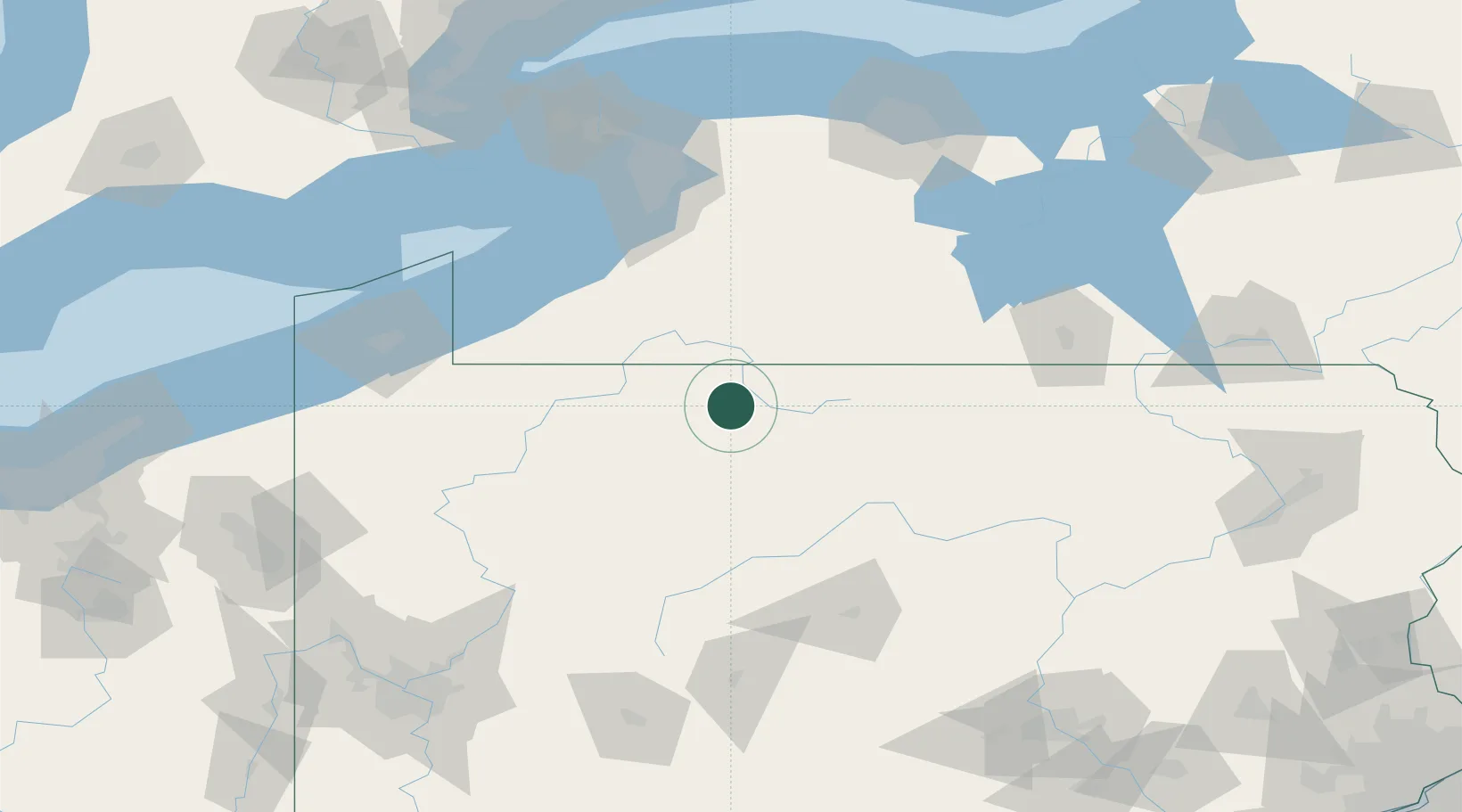
Smethport
41.8000°, -78.4333°
1,595
Population
2
Transport functions
Transport Functions
Road
Multimodal
Hub Profile
Place type
Provincial seat
Region
Pennsylvania
Population
1,595
Time zone
America/New_York
Elevation
475 m
Location
Nearby Logistics Neighbours
Cities
- 1Mckean10 km
- 2Hazelton Mills25 km
- 3Portville27 km
- 4Little Genesee31 km
- 5Wilcox33 km
Ports
- 1Dunkirk106 km
- 2Buffalo126 km
- 3Port Colborne138 km
- 4Tonawanda142 km
- 5Erie143 km
Airports
Trade Zones
- 1FTZ No. 254 Jefferson County48 km
- 2FTZ No. 295 Central Pennsylvania80 km
- 3FTZ No. 023 Buffalo125 km
- 4FTZ No. 289 Ontario County133 km
- 5FTZ No. 247 Erie143 km
DatabookThe Record of Consolidated Knowledge
United States beyond logistics?