Transport Functions
Port
Road
Multimodal
Hub Profile
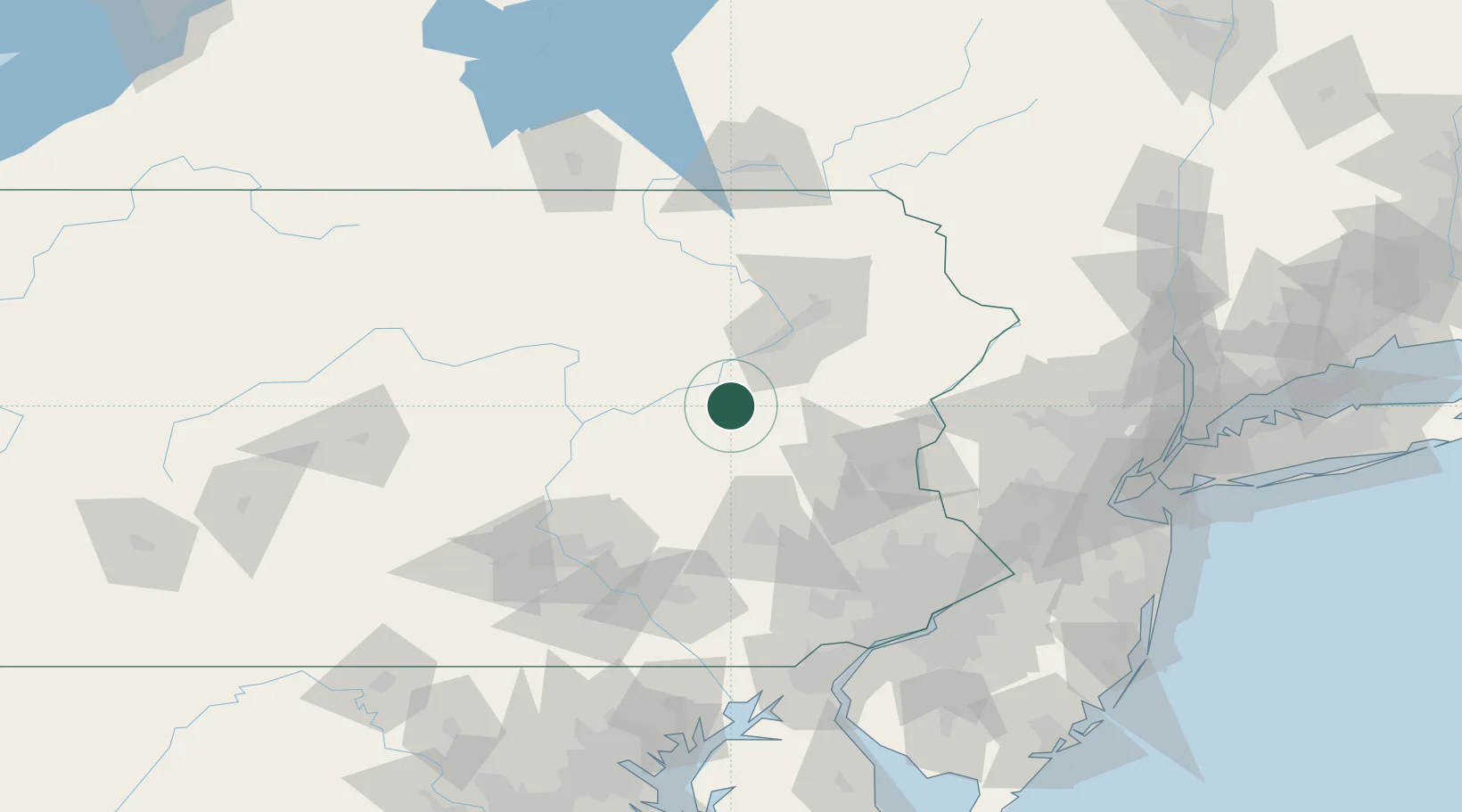
Place type
Populated place
Region
Pennsylvania
Time zone
America/New_York
Elevation
421 m
Location
Nearby Logistics Neighbours
Cities
- 1West Hazelton7 km
- 2Drums10 km
- 3Barnesville17 km
- 4Ringtown17 km
- 5Freeland17 km
Ports
- 1Philadelphia139 km
- 2Camden139 km
- 3Chester139 km
- 4Marcus Hook140 km
- 5Trenton140 km
Airports
Trade Zones
DatabookThe Record of Consolidated Knowledge
United States beyond logistics?